nl7501's Diary

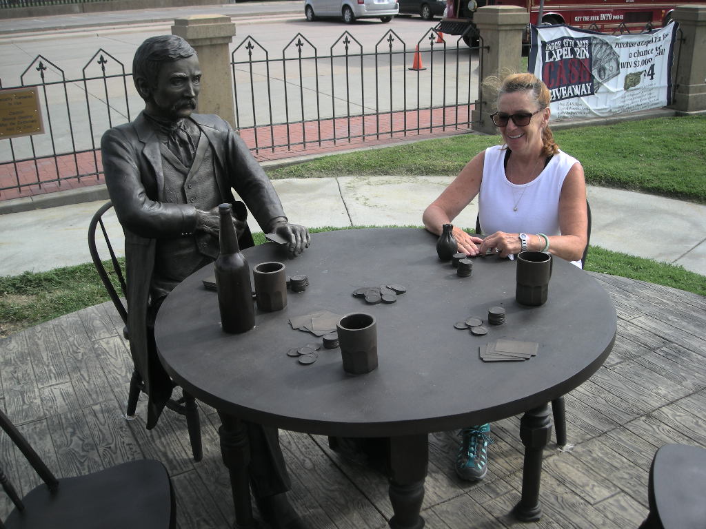
NPT 2015 Chapter 18 August 23 - 28

nl7501's picture

We left sort of late (for us) at about 9:30 on Sunday, August 23 because we only had to get to a Walmart to re-supply and drive about 70 miles to Mount Rainier. It was a really easy morning. The closer we got to Rainier, the smokier it got. We noted that the weather folks are calling for a reverse of the winds back to the west to east flow that was dominate a few days ago. The change happened when we were at the Beacon Rock State Park. That’s what brought the smoke to the west. We are hopeful that by Monday, the smoke will have cleared Mount Rainier. But for the rest of Sunday afternoon, we just took it easy.

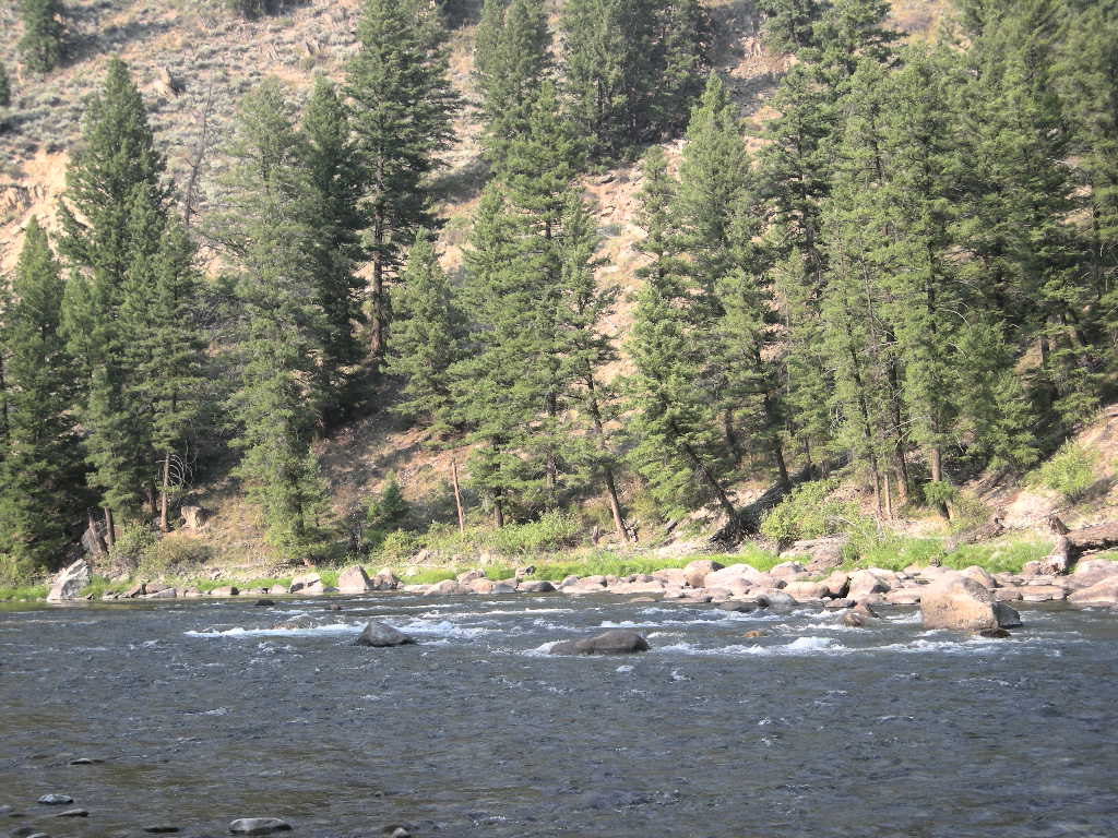
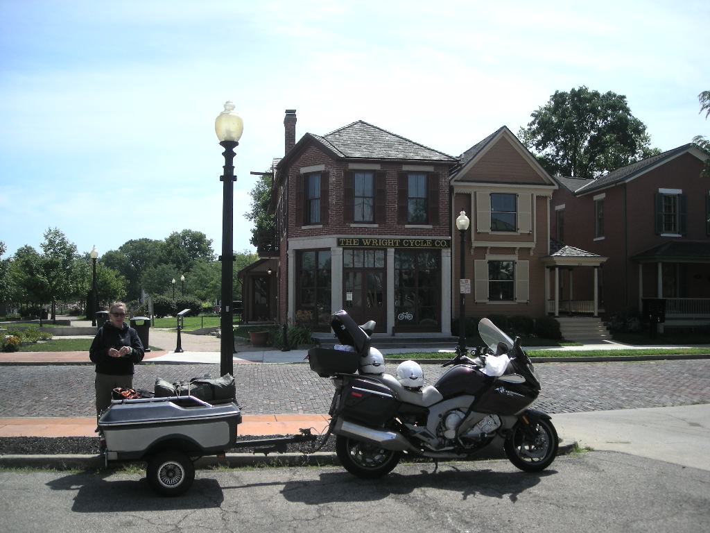
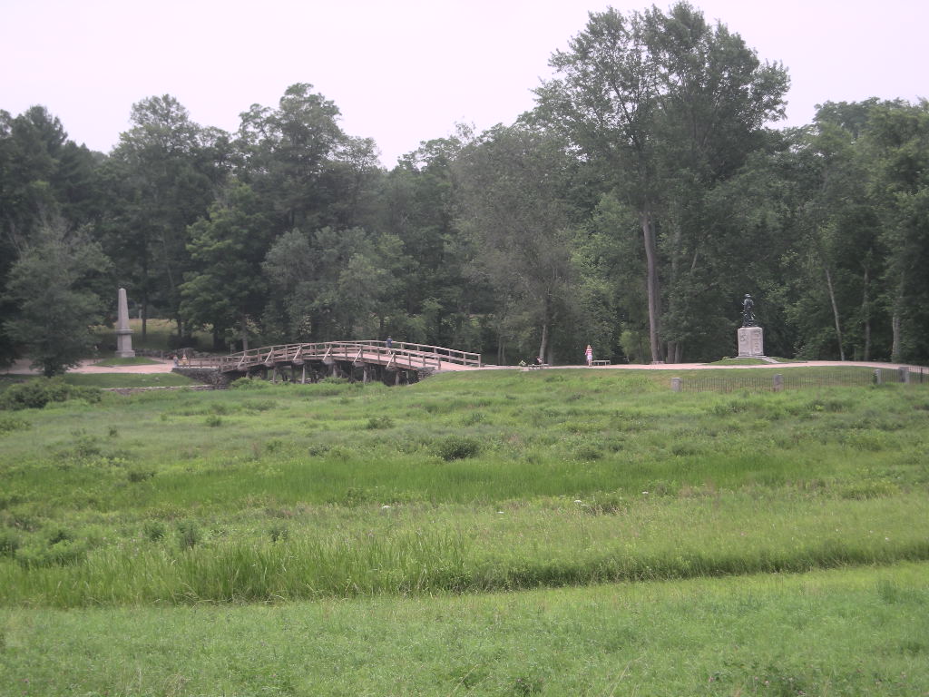
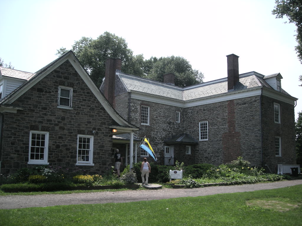
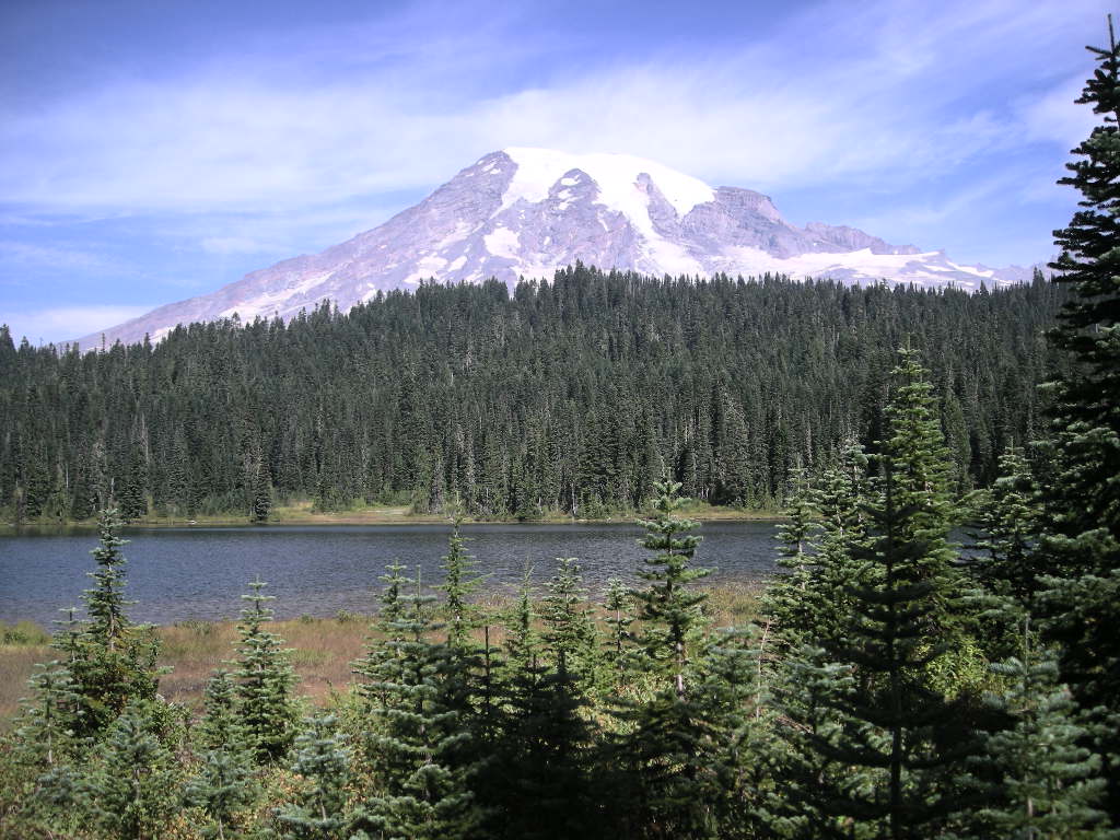
It was a great night! We went to the ranger program, and the smoke was clearing of noticeably. The evening was warm and our morning was a late one! We got up around 8:00 Monday, August 24 to bright sunshine. Once out on the road to Paradise, we could see that the smoke was mostly gone and the mountain was out! We fooled around Paradise for a while and drove the park road to Reflection Lakes to get a good view of Mount Rainier with its reflection in the lake. The view was good but with the slight breeze, there wasn’t much of a reflection. We took the time to go out of the park to Ashford to fill up on some of that $3.98 a gallon gas (they gouge you since it is either the last gas before the park or first gas out of the park (from Longmire that is). Good thing we’re pulling down mileage in the high 40’s (without the trailer).We spent the afternoon regrouping and planning our next steps. We decided to pull the plug for the summer since we really couldn’t make up our minds to go anywhere else (that wasn’t too smoky). We decided to head back east a little ways on WA 12 and pick up I-82 south to I-84 south into Oregon. Not sure the plan after that but probably continue south on some route we haven’t been on right into Nevada.

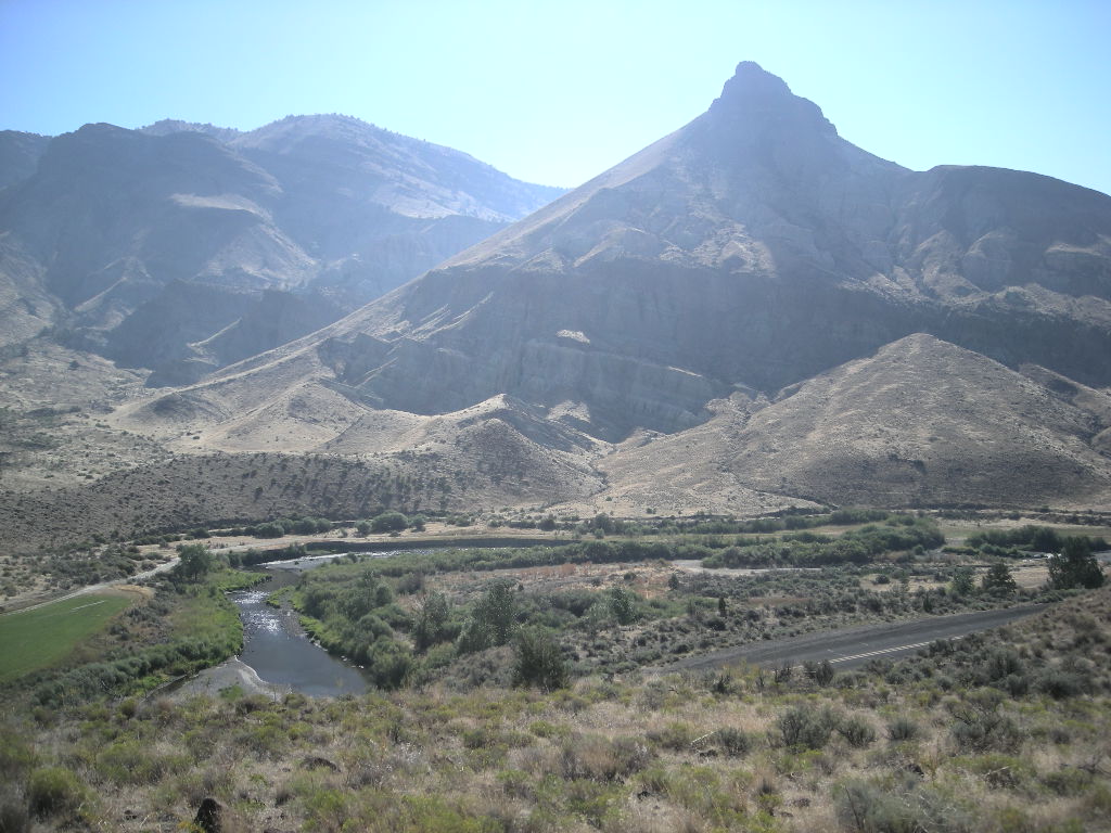
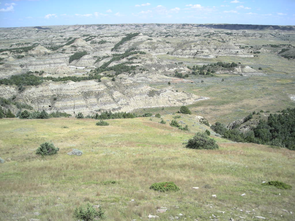
Tuesday August 25 started out cold but as in the west, things warm up pretty quickly. We planned to just head home via I-82 & I-84 and look for a hotel sometime late in the day. We started off going along the southern part of Mount Rainier passing Paradise and hooking up with US 12 via WA 136. The drive all the way from the campground to Yakima was really pretty! Not only that, the road is smooth and you can buzz along at 65, no problem. We stopped in Yakima for some coffee and then jumped on the superslab (I-82) and set the cruise on 70. By the time we got to Pendleton, OR, the smoke re-appeared and didn’t leave the rest of the day. We made a brief gas stop on the other side of Deadman Pass (another nice area despite its name). We pulled in at Ontario, OR, the same town we turned off at to pursue the John Day fossil beds. Yup, it was still pretty smoky. It was a pretty big day clocking over 400 miles. We’re hoping tomorrow will bring a reprieve as we continue southeast and onto US 93 into Nevada.

Wednesday, August 26 started out good with an early start down I-84. We pretty much kept to about 10 under the 80 mph limit because I don’t like to drive that fast pulling a trailer (though some folks do!). We made really good time and by late morning, we were exiting I-84 onto US 93 in Idaho Falls, ID. That’s when the LONG slog began. US 93 (once in Nevada) pretty much looks the same all the way to (almost) Las Vegas. That’s about 400 miles. The break in the scenery is the White River Narrows but other than that, if you happened to fall asleep for a while and woke to look around, you’d swear you didn’t go anywhere! We set the cruise at 70 and just watched northern Nevada pass by. There was hardly any traffic to distract us. The only interesting thing in that department was a car coming north that, just as we approached, blew something that caused a great big blue smoke cloud and from what I could see, flames coming from under the engine! It happened so fast, we didn’t have a chance to stop but when I spied the car that had been following us, they stopped. THAT would be a REAL bummer- toasting your car on US 93! No cell signal, almost no traffic, gee, if it got any lonelier, you might end up with buzzards circling overhead! We got pretty close to Ely by the time some clouds gathered to rain a bit on us but we pulled into the Hotel Nevada in time to look back north to see a really black sky from whence we came. We really got lucky but I do wonder why after so many days (probably 45 or so) that it decided to rain on us in Nevada (of all places!). We bunked in for the night after another over 400 mile run and watched the rain from the comfort of the hotel.

Our last day on the road, Thursday August 27 was melancholy on that our summer trip was drawing to a close. We left Ely rather early hoping to be in Las Vegas before it got too hot. The drive down NV 318 was lonely and it went quick, quicker than we liked it too, hoping the vacation wouldn’t end. But alas, it did. We pulled in to home without incident around noon in the 100+ degree heat. It is, in a strange way, nice to be home.

The wrap-up of August and our trip went like this- We drove 5,785 miles in August bringing our total for the year to 26,366 or 17,578 since we left Las Vegas on May 12. We’ve racked up 35 parks for the month totaling 178 for our 2015 National Parks Tour. Our state count grew by 8 for a total of 34. Our bike now has well over 72,000 miles and it really feels broken in now and almost a part of us (meaning it fits us better than it ever has)! That’s the cool thing about BMW’s, they take a while to really break-in but once there, they are with you for a LONG time if you so desire! The K1600GTL performed flawlessly this summer producing an average of 42.1 mpg over the whole trip. We got to visit some pretty great places, see lots of interesting stuff and most important of all, visit with our friends and family along the way. They all helped make our trip that much better! Our submission to the Iron Butt Association will be (hopefully) a brand new certified ride. We did a back-to-back National Parks Tour Silver without visiting (counting) a park from last year this year. Maybe we’ll get just that- the first Back-To-Back National Parks Tour Silver! We’ll see!
Some other highlights were:
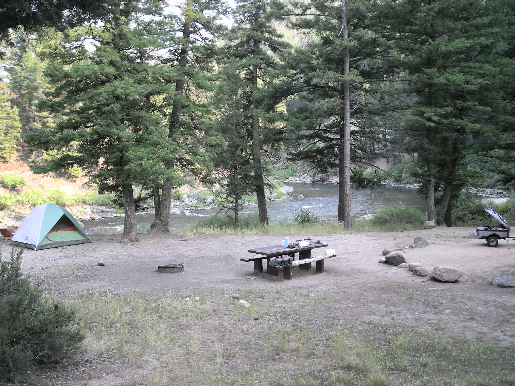
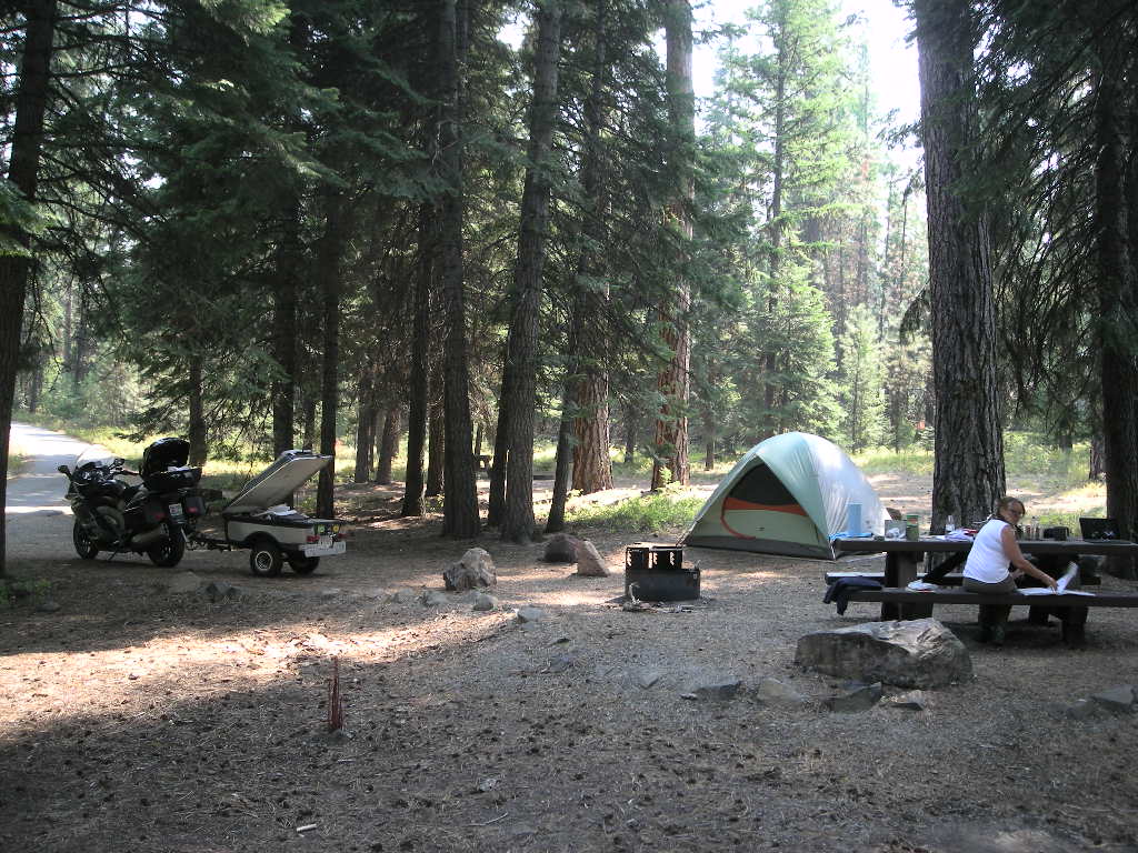
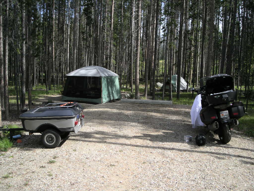
1. The best camping experience was all of the campsites (besides #2)! But really, we had some so-so spots and some really great ones. ALL have a quality or two that make them memorable to us.
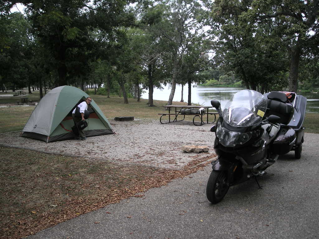
2. The worst camping experience had to be Cliff of the Neuse in North Carolina, hands down. No fault of the park, it was just SO humid and hot that you couldn’t take off enough clothes to bear it! Then it stormed all night which made it hotter and more humid while the bike’s stand sank into the sand and it fell, albeit slowly, onto its side (no damage though). The mosquitoes were Jurassic as were the biting flies. It was a bummer there…but memorable!
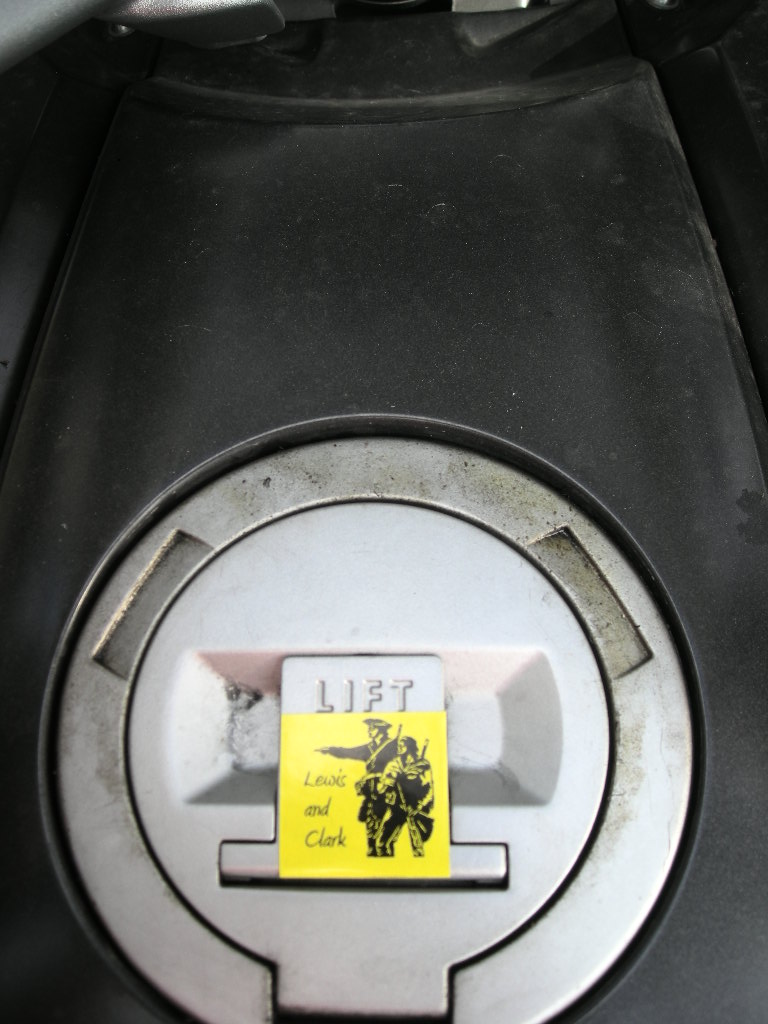
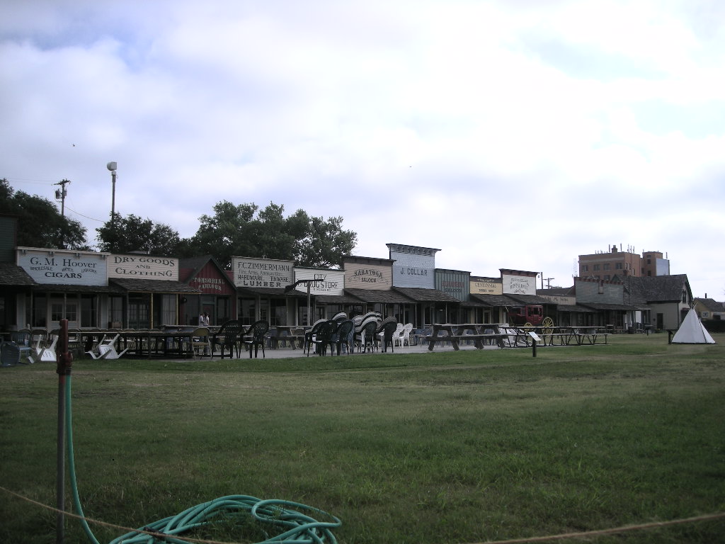
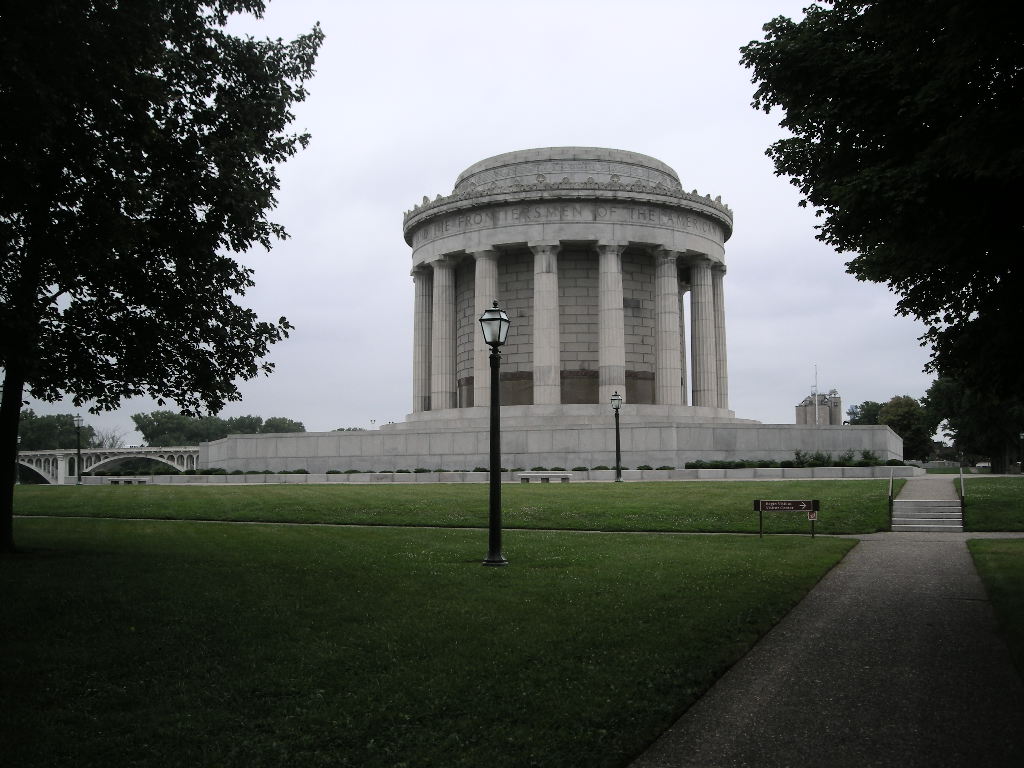
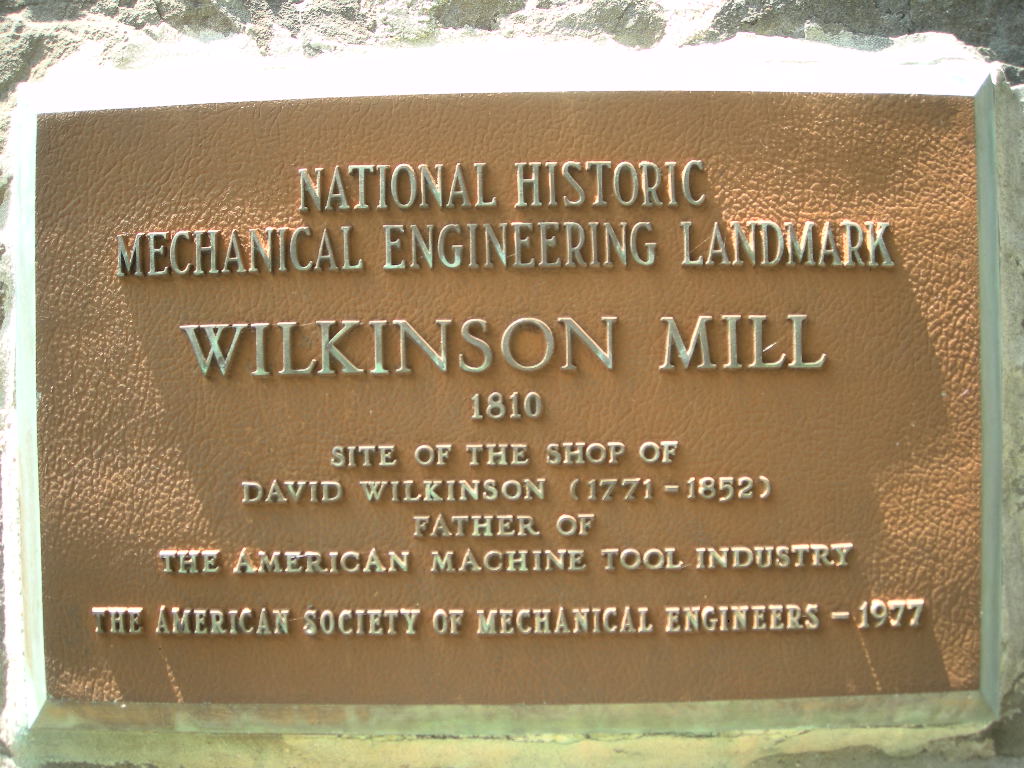
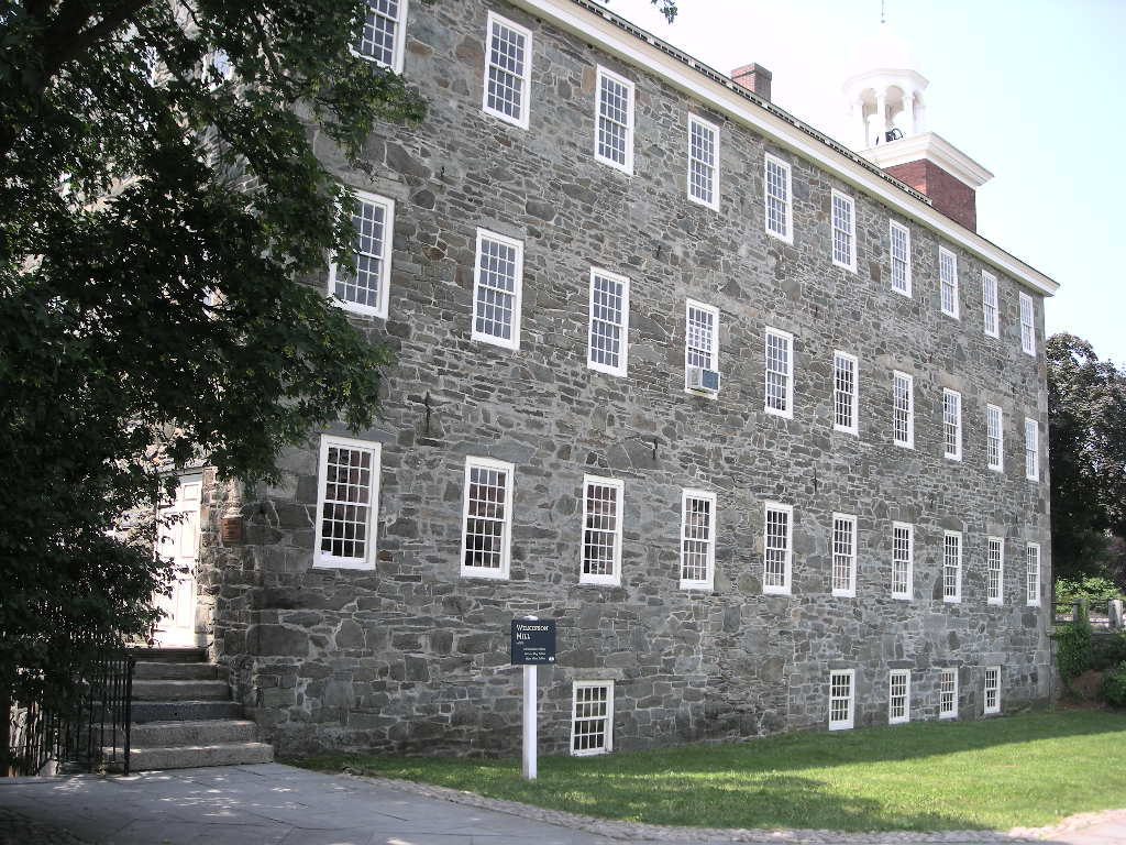
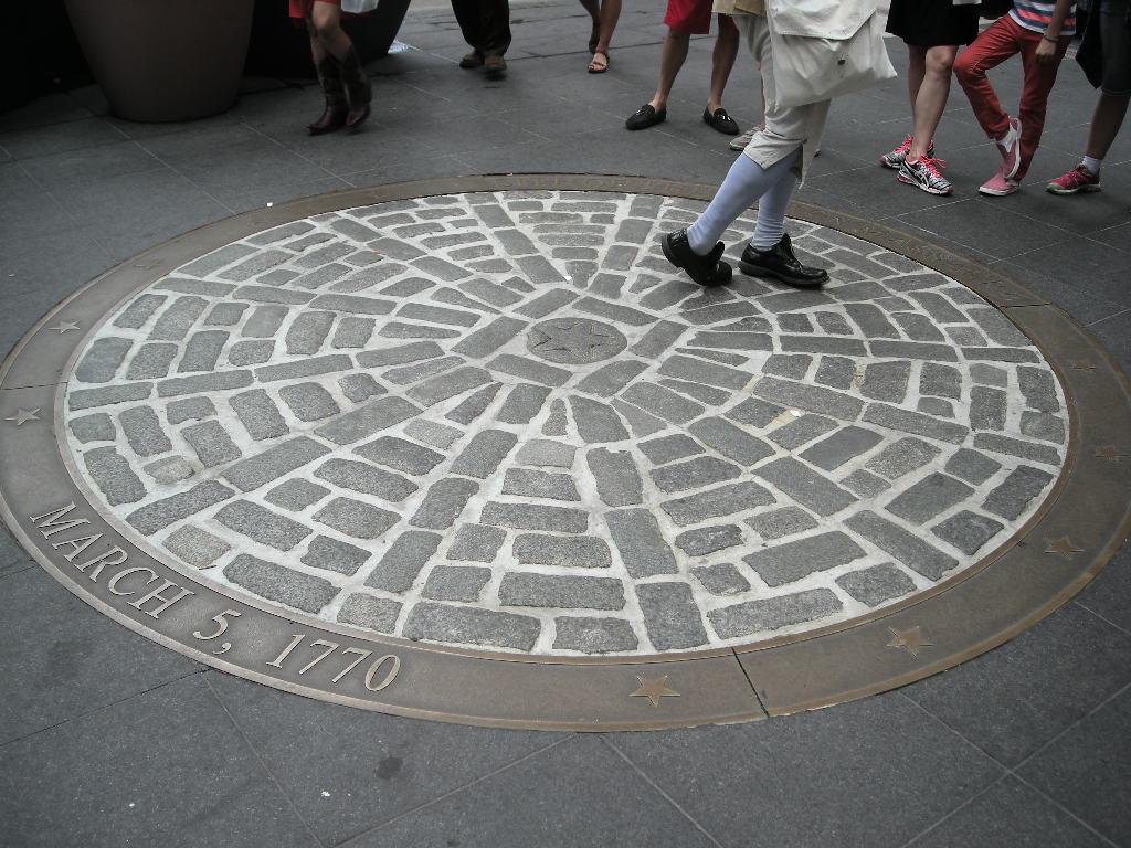
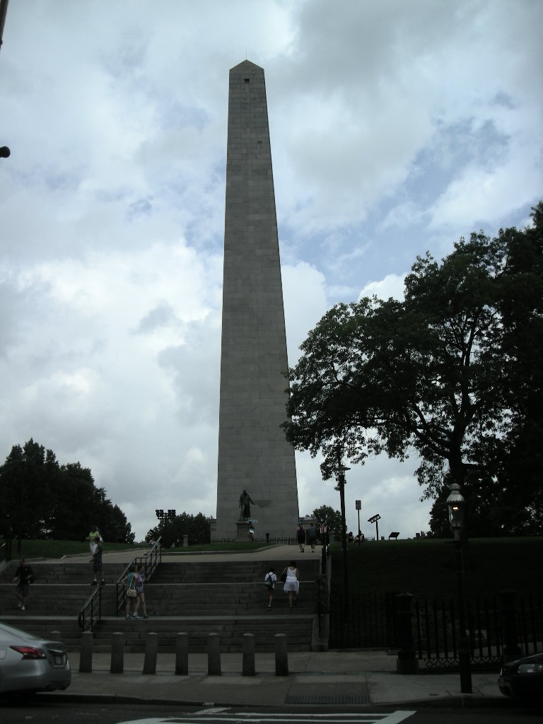
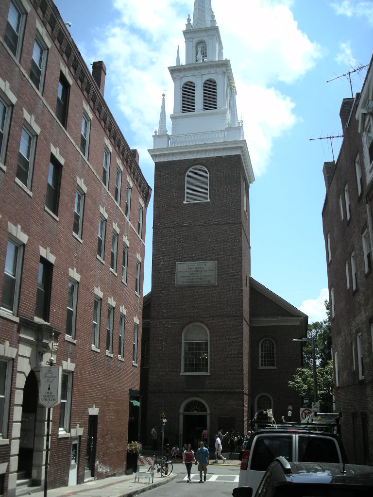
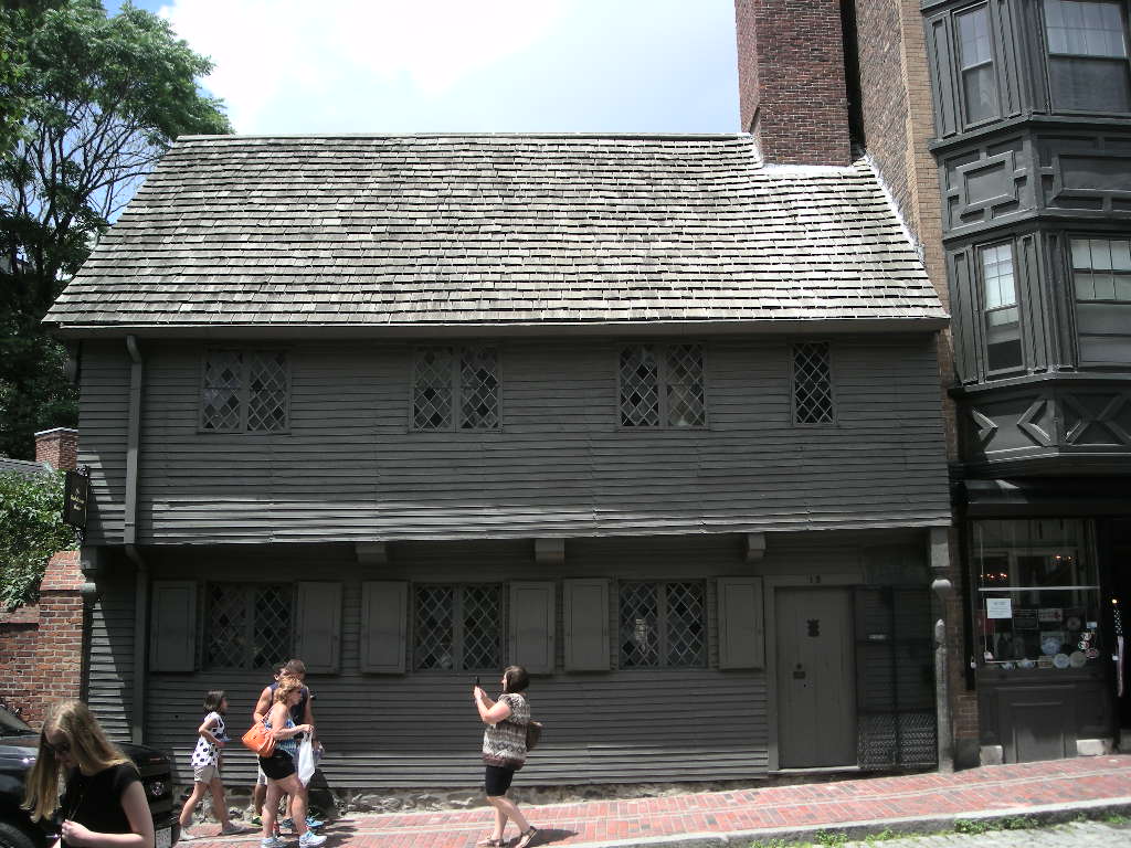
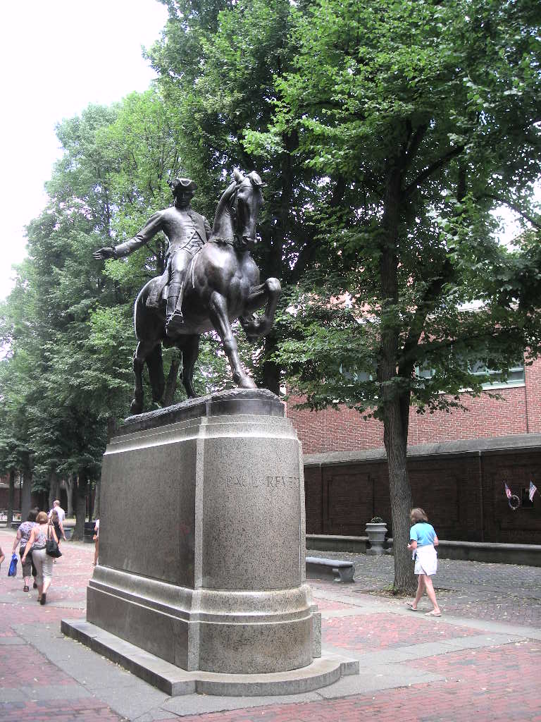
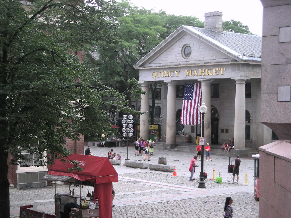
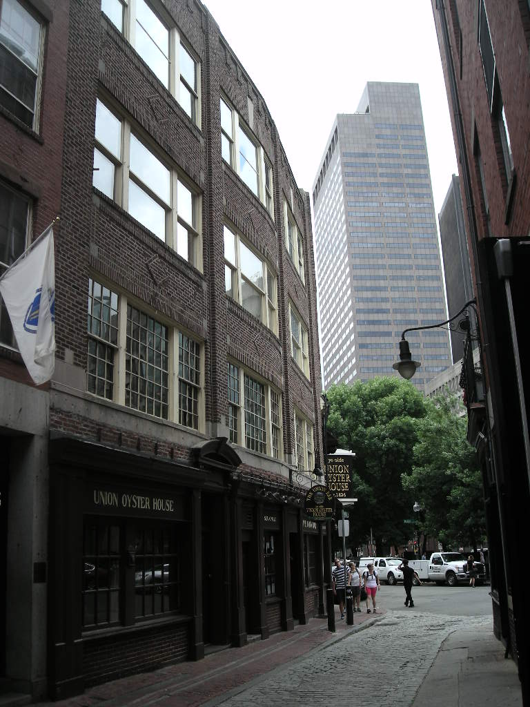
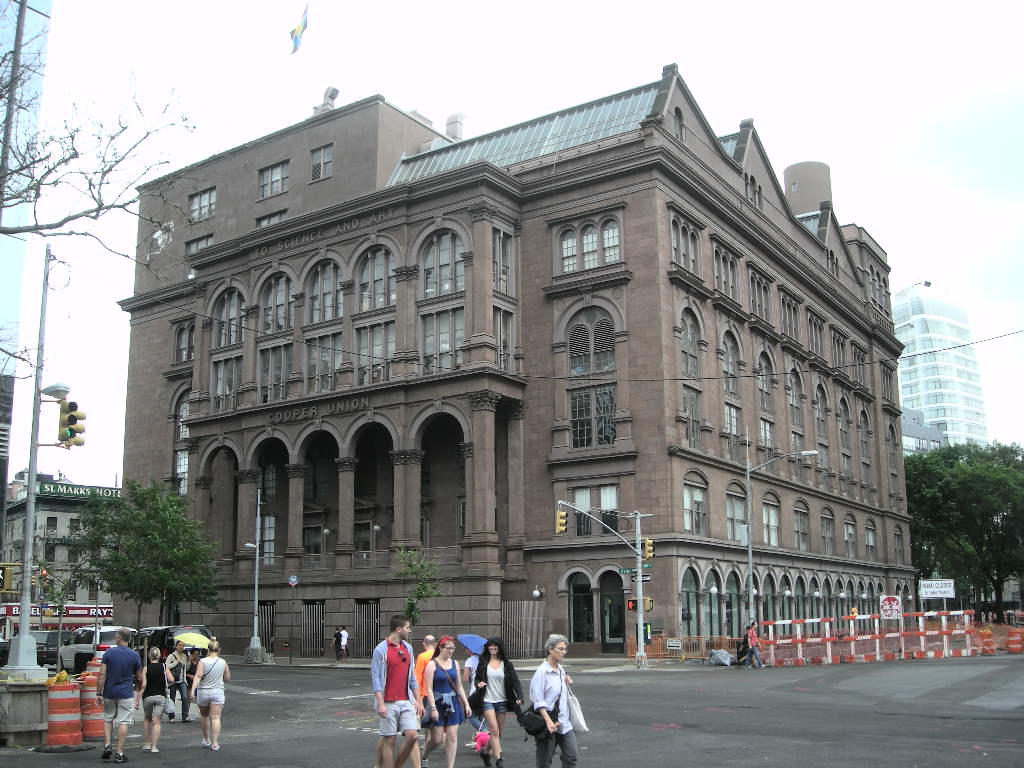
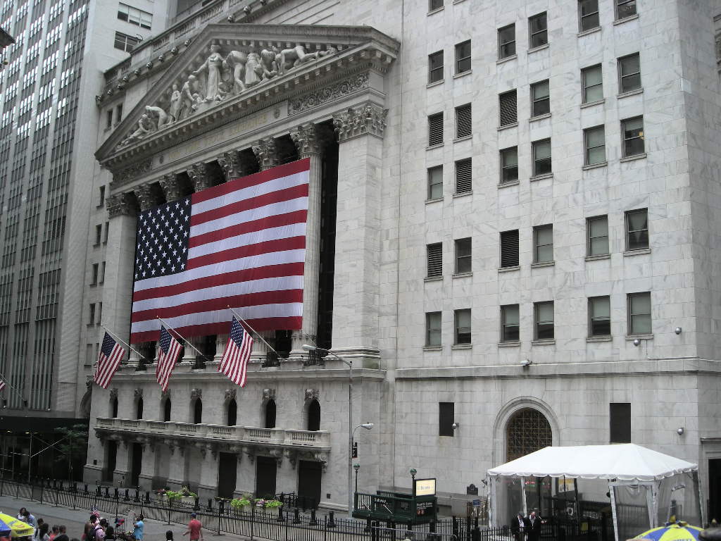
3. The best park is always a hard call. We really like Mount Rainier National Park but we must say that the Lewis and Clark Interpretive Center in Great Falls was first rate as was Dry Tortugas National Park in Florida. The historical parks and sites in New York City and Boston were equally cool in their own way and both are on our list for re-visiting. The most informative (meaning we had little or no knowledge beforehand) was the George Rogers Clark National Historical Site. He is truly an unsung hero of the Revolution.
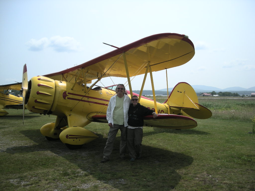
4. The best experience (outside of the whole trip) was the bi-plane ride. What a hoot!
5. We had no close calls with any cars or trucks or native creatures (like deer).

Well, that’s the end of our 2015 summer odyssey. It was a fantastic summer! We’re not done yet though! After our 18k service at BMW Motorcycles of Las Vegas, we are planning to get to the Trinity Site in New Mexico (anyone interested in going?) the first Saturday in October. See the EMO site for details. There may be a few parks around we could still squeeze in too. So, look for a Chapter 19 to wrap up the year. Once again, we hope you enjoyed reading of our adventure and that it in some way it has sparked a fire in you to get out and explore the wonderful parks that are in our United States (it seems to have worked on a few folks from last year!). You never know what cool thing you might find in them and in some cases, what you might find inside yourself. Till next year! Greg & Cynthia

P.S. Anyone interested in retracing the Corp of Discovery’s route next summer (or something else)? Give us a call, we’re up for another adventure! We’re ready NOW!

2015 NPT Chapter 17 August 18 - 22

nl7501's picture

Tuesday, August 18 with the fires burning in so many places and the smoke just about everywhere (or so it seemed), we decided to do what any good Iron Butt rider would do and that is to plan our ride and ride our plan. Anytime you keep changing up the plan, things go haywire! We wanted to experience US 93 south into Idaho and the Sawtooth National Recreational Area. So, off down US 93 we went. It is a beautiful road. We wish the smoke wasn’t present because the views would have been that much more spectacular! Passing through Salmon, ID (birthplace of Sacagawea) we were pretty close to the Lemhi Pass National Historical Landmark where Lewis and Clark traversed the Bitterroot Mountains on their way back to St Louis. It is too bad the road is dirt to get to the pass but possibly next year we’ll conquer that. By the time we got to Challis, ID we cut off onto ID 75 to skirt the Sawtooth Mountains. This is a beautiful road that follows the North Fork of the Salmon River. And we thought following the Salmon River was pretty…! This whole area is a must see. We bailed out in a National Forest campground at the Upper O’Brien Campground within the Sawtooth NRA. We had a spot overlooking the river and a series of rapids (although they were small) and it was lovely! We got our chairs out and spent the rest of the afternoon watching the inflatable rafts float folks down past our camp. In a little while, out of the corner of our eyes we spotted about 20 baby ducks in a pool of calm water just upstream. Well, what a show they put on! One by one, off they went down the rapids with their little heads bowed downstream, they rode the waves with reckless abandon. And then they gathered at another pool just down from us and regrouped for the mad dash again in the rapids, then out of sight. It was a wonderful show that neither of us have ever seen anything close to. What a day!

Wednesday, August 19 started out pretty cold with the temperature at the campsite a chilly 45. We did our usual thing and were on the road by 8:30. We continued on ID 75 to ID 21 another great road that follows a river as temps fell to 40. These are all great motorcycle roads and just think the experience of them is only about two days from Las Vegas straight up US 93! Our plan was to get into Oregon a bit with plans to see the John Day Fossil Beds National Monument on Thursday. We had a great drive in the morning as we wound our way along ID 21 to Lowman. Of all the places we’ve seen, Stanley, ID has got to have one of the best views going! In the river valley, at the junction of 75 and 21, the Sawtooth Mountains dominate the view and it is just wonderful! It reminded us of the Grand Tetons but the valley here not nearly as expansive. We must say that the central parts of Idaho are definitely on our list for further exploration! By the time we got to Banks, we were pretty much out of the mountains and headed towards Oregon. We crossed at Ontario, OR and that’s when things got smoky again. All the way up US 26 we could see fire damage in the grasslands on both sides of the road. I was starting to worry that our intended state park, Unity, would be closed. When we reached Unity, OR, we saw where the firefighters had their camp set up (with about 50 tents or so). This was looking bad. When we reached the cut-off to the state park, they had the road blocked off and closed. What to do? Keep going! We drove a few more miles and stumbled on a really nice National Forest campground named Wetmore. We were the only people there when we arrived and for some reason, the smoke wasn’t very noticeable. This was our home for the night! Later, a rider on a Honda ST1300 came in and we had a good chat before he set up camp and joined us for the evening.

It was a MUCH warmer night and morning Thursday, August 20. We hit the road early knowing we had a fair amount of traveling to do. Our first stop was at the John Day Fossil Beds National Monument just west of John Day, OR. This was another park you really have to want to go to. It is out in the middle of nowhere but the roads there and off to our next stop were tremendous! On the way we saw plenty of firefighters and their equipment. Fires were burning all around. We heard that a pretty big one broke out just south of John Day and we hoped they wouldn’t close US 26. They didn’t, but they did close US 395 south of John Day. The national monument is really three different areas: the Sheep Rock Unit; the Painted Hills Unit and; the Clarno Unit. Each of them have their own uniqueness. We spent most of our time at the Sheep Rock Unit. The area is absolutely FULL of fossils dating from about 45 million years ago. Therefore, almost all of the fossils are of mammals. The park film was very informative and the fossil displays first rate. Even though we had to wait an hour for them to open, we certainly would recommend a visit if you find yourself in the area. We left there and headed up OR 21. What a great ride! Little did we know though, when we turned off onto OR 207, it got WAY better! This is definitely a premier motorcycle road! The speed limit was 55 but with the road newly paved, the turns sharpened just right and, the view through the turns excellent, it was easy (and fun!) the push the envelope. Too bad we were pulling a trailer… Nonetheless, we carved up the road pretty good anyway! It’s a good 100 miles from John Day NM to the end of the ‘turns’ around Hermiston. Try it! Just keep an eye out for rocks on the road. We got to our second stop just outside Walla Walla, WA at the Whitman Mission National Historical Site. Built as a mission to bring Christianity to the Cayuse Indians, the mission only lasted 11 years even though it was right on the Oregon Trail. On our way there, we got a taste of travel along the Columbia River. We can hardly wait till tomorrow to travel WA 14 along the river all the way to Fort Vancouver. Last year, the ride along the Columbia on the Oregon side was pretty spectacular but this year, we’ll be doing the Washington State side (not an expressway).

Friday, August 21 started out good as we tried to find Hanford Reach National Monument with little initial success. Seems the government has the national monument on the top secret list like the nuclear processing facility by the same name. We had success after getting some help at the Hanford Reach Interruptive center in Pasco, WA. The national monument is administered by the McNary NWR not far from the confluence of the Snake and Columbia Rivers. There we got a lot of information about the monument and the numerous national wildlife refuges (NWR) that abound in the general vicinity. After our stop there, we headed south on I-82 and picked up WA 14, headed for Vancouver, WA. The drive was really spectacular! It is MUCH better to ride the Washington side of the Columbia River Gorge than the Oregon side. But was it WINDY! I bet I could have gotten 50+ mpg…if only we were going the other way! It really wears you out fighting a head wind with gusts from side to side. We managed to pull off 250 miles before we decided to bail at Beacon Rock State Park. This rock juts out into the river and was noted (and named) by Lewis and Clark in 1805. We had a really nice campsite at Beacon Rock, although it was quite expensive ($30). We settled in and even found a nice crop of blackberries growing in the campground for our oats in the morning!

Saturday, August 22 was a pretty warm morning and by the time we hit the road again, headed west towards Fort Vancouver, we could see (and feel) that the winds had changed and we were enjoying a little tail wind push but suffering poor visibility due to the ‘new’ smoke in the valley. It was too bad too because this portion of the gorge is really pretty. Nonetheless, we pressed on to Fort Vancouver. Located in Vancouver, WA, the fort was a major trading post built by the Hudson Bay Company in 1825. We stopped at the visitor center for a great film about the evolution of the fort. From then (1825) till just after WWII, the fort had a fascinating history that included fur trading (also the end of the Oregon Trail), then airplane manufacture (out of spruce, that is), ship building (for WWII) and is now a beautiful park/historic district. If you like history, definitely look up the history on Fort Vancouver. It is a really nice area, right on the Columbia River. We left the fort and headed northwest to visit a couple of Lewis and Clark sites we did not see last year. Once out to Astoria, OR, we crossed the Columbia and were in Washington going for Cape Disappointment and the Lewis and Clark Interpretive Center. This was another really well done museum about the Corps of Discovery. Like the one in Great Falls, it covers the entire trip of the expedition. From there we visited Fort Columbia and Station Camp, the first camp of the Lewis and Clark expedition before they crossed the Columbia and set up Fort Clatsop for wintering quarters in 1804-05. The only place left we did not see in the area was Dismal Nitch, close to the Astoria Bridge (the world’s longest continuous truss bridge). We’re saving that for next year’s Lewis and Clark odyssey. A quick run up US 101 and we were in Olympia for the night.

We’re thinking that we will pull the plug on our trip sometime in the next two weeks but we aren’t sure. Basically, waiting till the temps in Las Vegas get down a bit is one objective balanced by the other, which is we want to see more! Stay tuned, we’re pretty sure more is to come! Greg & Cynthia.

2015 NPT Chapter 16 August 14 - 17

nl7501's picture

We settled in for a few glorious days in southwest Montana at Spring Hill Campground just west of Anaconda, MT. It is a National Forest campground so there are no showers or anything like that. Today, Friday August 14 was supposed to be a really stormy day but the morning proved pretty nice. We jumped on the bike and headed a little west on MT 1 and stopped in Philipsburg, MT, home of Gem Mountain. If you’ve never heard of it, Gem Mountain is one of a few emerald mines in western Montana. I stumbled upon it 30 or so years ago and Cynthia really wanted to try it out. So we did! This time though, we went to the store they operate in Philipsburg (a destination in itself too!). You buy buckets of gravel, they wash it for you and shake it down so the heavier emeralds (that included rubies and sapphires too) go to the bottom of the pan just like gold does. They flip the screen over on your table and there the gems are glistening in the light! All you have to do is pick them out! It was great fun and the process is VERY addictive (like gold panning is). Once you find them, you can’t stop. But we did after finding 8 gem quality stones and numerous ones with flaws. We headed back to camp before the storms arrived but they proved to disappoint. We didn’t get much rain or wind as they had called for. Just a couple of intermittent showers.

By morning Saturday morning August 15 though, it was WAY cooler and really smoky. We think a fire was started by the lightning from the night before. The whole valley we were in was cloudy with it and we decided to just keep to our plan for the day by going to 3 Forks of the Missouri River National Historical Landmark (about 80 miles east) and then swing south a ways to Virginia City National Historical Landmark. It remained fairly smoky all the way to 3 Forks but it took us no time to get there since I unhooked the trailer and we buzzed along at 80+. Only thing is that at those speeds it really calms your gas mileage down! The 3 Forks is actually in the Missouri Headwaters State Park. Nice place too. It is where the Jefferson, Madison and Gallatin Rivers all meet to create the Missouri River. All three of those rivers were named by Lewis and Clark after the President Jefferson (who commissioned the Corps of Discovery), his Vice President, James Madison and the Secretary of the Treasury at the time, Albert Gallatin (the same guy who lived at Friendship Hill NHS in Pennsylvania we visited June 23). It is pretty cool to bring it all together like this when you visit these historical places. This was probably the second big disappointment to the Corps of Discovery after the five falls outside Great Falls (knowing you can’t navigate those!). Here they learned the Missouri did not connect to the Columbia at all. We left there and headed south on US 287 to Ennis, MT and then west right into Virginia City. Virginia City is a pretty cool place too. Once a boom town from gold discovered in the area, it was also the territorial capital. We walked around town, peering into the stores stocked with period merchandise from the mid to late 1800’s. All of these are registered national historic places (we aren’t counting even though we could). They have a boatload of really interesting stuff in these stores. You can’t buy any of it though, it is all of what makes up the walking museum of Virginia City. We had lunch at one of the cafes and since it was getting late, we bugged out and made a beeline to our camp after a brief stop in Anaconda. It really turned out to be a great day. The smoke was gone when we arrived and the evening was very pleasant!

Sunday, August 16 was a REALLY chilly morning! It almost feels like the weather is changing for these parts to fall from winter. The high was only 70 but the sun was shining! We fooled around the campsite for a little while waiting for it to warm a bit from the low of 48 (according to the GTL’s thermometer). Besides, our first stop at Grant-Kohrs Ranch NHS is only about 50 miles up I-90. We decided to hit that first then backtrack to Butte to see the World Mining Museum. And was it chilly! We broke out the gloves for the first time since Texas! After a quick blast up I-90 to Deer Lodge we were at Grant-Kohrs Ranch National Historical Site. What a great history! The ranch was established in 1865 by Johnny Grant and by the time Conrad Kohrs became involved, the cattle grazing on open range belonging to this ranch spread from Colorado and into Canada encompassed over 10 million acres! Unbelievable! The ranch today is still a working ranch albeit a lot smaller. The house Grant built and Kohrs added to were open for tours and the grounds (bunkhouses, storage sheds and barn with a fantastic collection of buggies) are open for tours also. They had a blacksmith demonstration and a chuck wagon cook on site to tell you about the history of those two ‘professions’ at the ranch. By the way, the campfire coffee was EXCELLENT!! Definitely worth a visit because there is so much to learn about ranch life. For instance, I always thought the cowboys on the round-ups ate the cows (since they were right there and all…). Well, nope. They usually ate a salted pork and rice mixture with dried fruit also. Seems the cowboys in them days made about $30 a month and the cows were worth about $45. No eating them! We left Grant-Kohrs and blew back down I-90 to Butte and the visitor center for the city. We wanted to go to the World Mining Museum but it turned out to be a disappointment. Though they had a lot of mining equipment, the museum seemed to be geared towards children. We didn’t stay long and went back to our base camp to pack up and get ready to leave this wonderful part of Montana for further adventures (if I can figure out where the fires AREN’T burning…). On the way….just when you think you’ve seen it all! I observed a cube truck entering onto I-90 at a fairly high rate of speed and that’s what caught my attention since he was going to merge around when I would be next to him. As I always do, I changed lanes to let him on the highway and as I look over, he’s playing the trumpet! Yes, you read right, playing the trumpet! Never saw anyone playing an instrument and driving?!

Monday August 17 started out REALLY cold! The temperature gauge on the GTL read 44 degrees when we left the campground at 9:30. Our plan was to get to Missoula the long way by heading south to Big Hole National Battlefield and then zip up US 93 straight to our hotel (after all, it’s been four days out camping at a National Forest campground…). It never really got above 50 degrees till we got to Big Hole. By then the sun was out pretty good and it hit 65. Big Hole National battlefield was the site of a pretty terrible battle between the US Government and the Nez Perce. The visitor center is first rate and the film is really emotionally moving. The events in the Big Hole August 9 & 10 of 1877 was really tragic. It was the fifth battle with the Nez Perce as the US Government chased them across Idaho and Montana to force them back onto the reservation. The whole story of the Nez Perce is well worth investigating. After our visit, we mounted up and took a short run to the junction of US 93 and turned north. WOW, what a great road! It follows the Bitterroot River through the valley of the same name as you parallel the Bitterroot Mountains. It is beautiful! In a short 70 miles, we were in Missoula. Funny how those extra special roads go so fast even when you take your time!

We’re not sure where we are headed now since so many fires are burning out this way. Smoke is all around us so we need to speak to the forest service folks to see what’s what. So, the next chapter will be a complete surprise, even to us! Lots more to see! Greg & Cynthia.

2015 NPT Chapter 15 August 10 - 13

nl7501's picture

We started out fairly early Monday, August 10 from Deadwood since the weather was so nice and we wanted to enjoy the ride BEFORE it got hot! By the time we loaded up, most all of the Sturgis folks had left (and we didn’t even hear them!). We didn’t have all that far to go. Our plan was to get to Theodore Roosevelt National Park in good time so that we could get a camping spot and check out the park. Since getting back out west, camping spots have become rare in some parts! The drive up US 85 was really nice. The road was excellent and the views go on and on and on! It was sad to think that as recently as 150 or so years ago, these same views would have been nothing but herds of tens of thousands of bison. Really hard to imagine since you can see just about forever! The road was pretty straight most of the way with lots of elevation changes to make it somewhat interesting. Oh, and did I mention the views? We had a pretty stiff tail wind most of the way (while pointed north) but it also kept us on our toes when we shifted either east or west for short periods. It was about 225 miles by the time we found ourselves cruising through Medora, ND where the entrance to the south unit of the park is. The park is comprised of two units, a southern unit right off I-94 and a northern unit about 50 miles further up US 85. We were really surprised how beautiful the area is. Similar to the badlands of South Dakota, Theodore Roosevelt National Park is however, much prettier. We took the 36 mile scenic drive after setting up our camp. Along the route you’ll see three or four extensive prairie dog towns, great overlooks of the badlands and lots of bison. Be careful though, they aren’t as friendly as they might appear and buffalo chips are really slippery when on the road! The park also boasts a great collection of petrified wood but that requires a 16 mile hike or horseback ride from within the park or a 3 mile round trip hike from a point on the western boundary of the south unit.

Our night included really good temps with the low in the upper 50’s. Perfect sleeping weather! Tuesday August 11, we packed and were on the road early again with plans for about 200 miles since (once again) campsites are hard to come by in far eastern Montana. Our only stop included Fort Union Trading Post National Historical Site right on the Missouri River. You have to want to come here because it is WAY out of the way. Less than 75 miles from the Canadian border, Fort Union is partly in Montana and partly in North Dakota. THE principle trading post on the Missouri River, the fort wasn’t a military fort but like Bent’s Old Fort in southeastern Colorado, it was all about economics. We watched the film first, (as we always do since it clues us in to what we want to explore further) then headed out to tour the grounds. The fort that exists today is a complete reconstruction from plans made in its early years. The original fort was dismantled after the US Government bought it at the beginning of the Civil War and used the materials for Fort Buford at the confluence of the Yellowstone and Missouri Rivers (which can also be visited not far away). Fort Union was a fascinating place. Its life spanned the longest of any other frontier fort lasting 39 years from 1828 – 1867. In its heyday, Indians would camp all around the fort and after a lengthy trading ritual lasting sometimes 8 or more hours (before any talk of prices etc) the prices were set between the chief of the tribe and the traders and all the members of that tribe traded at the set price(s). It all worked! Too bad it went south later as the white man infringed upon the Indian territories (among other things). Fort Union has also had its share of notable visitors including Prince Maximillian, John James Audubon, Jim Bridger and others famous in western history. Once leaving Fort Union, we picked up on US 2 west into eastern Montana. Here the views go on even further than forever (if that were possible)! Beautiful farms were folks measure their driveways in miles, not feet. On many of the farms the winter wheat was still not cut and the golden fields stretched for miles. Setting the cruise control at 5 below the posted 70 mph, it was quite a relaxing ride as we soaked in the scenery as the GTL purred along as it always does. With no cars to pass and only slightly rising temps, we had a wonderful day. It’s on rides such as these that you can get really lost in your head. When we finally got to the Fort Peck cutoff, it really felt like we had been in a trance the whole time. How great it was! Other than the constant clash of grasshoppers on the bike and our lower legs (they sit on the road and hop to their demise just as you get to them), it really was a memorable trip. Our camp was at the Downstream Campground of the Army Corps of Engineers Fort Peck dam on the Missouri River. We were early so we got a nice shady spot and relaxed the afternoon away. By evening, the mosquitoes were out and we turned in. Being only about a half mile from the dam, when the horn that could be heard 20 miles away went off at about 2:00 in the morning for what seemed like 5 minutes, we were instantly awake. We have NO idea why it happened except that either the dam was getting ready to fail or (and most likely) it was a warning to get off the water due to lightning in the area. Either way, we were awake then! By morning it was damp and cool with the weather expected to be in the triple digits later. We packed and hit the road for the 300 mile run to Great Falls. MT.

Since it was to be weather brutal later (high’s in the lower 100’s AND bright sunshine to bake you to a crisp), we decided to hotel it in Great Falls. Our ride out US 2 was again a wonderful ride (since it was so early). It is really pretty in eastern Montana albeit long and the scenery unchanging. Every now and then you get a glimpse of the Missouri River and I often drifted off to thinking about how Lewis and Clark must have felt as they traveled the same countryside in 1804. It probably looks very much like they saw it with the exception of the farms and fences. Other than that, it is fairly pristine. I spotted a National Park sign just as we were getting into Chinook, MT. that read Bear Paw National Battlefield. I don’t know when it happened but I have been tuned into only spotting (reading) brown signs for some time now! We took a quick left and found ourselves at the Blaine County museum that also serves as the visitor center for the park. This museum is a must stop! We were amazed at the number and quality of the displays! The film chronicling the plight of the Nez Perce Indians was really well done. We picked up the brochure on the Nez Perce National Historic Trail since we’ll be visiting a number of the battle sites throughout Montana and into Idaho (where it all began in September 1877). Bear Paw was where Chief Joseph finally surrendered while another band of Nez Perce escaped to Canada (only 40 miles away). The whole story of the Nez Perce is worth investigating! We’ll be experiencing the story in reverse. As we made our way off US 2 and onto US 87 towards Great Falls, the skies started to darken and I was sure we were going to get a storm! I set the cruise a little faster at the posted 70 mph (it seems ALL roads in Montana are 70 mph, even these two lane ones) hoping to beat it out. We got lucky because by the time we arrived in Great Falls, it was only a sprinkle to us. We didn’t get to see too much of Great Falls Wednesday but what we did see we really liked. It is a very nice city set right on the Missouri River. There used to be falls here but they are now quasi-falls with power stations at each of the five. Lewis and Clark only expected to see the Great Falls as the Indians had told him but they encountered five, hence the difficult (most difficult of the whole trip) 18 mile portage.

Thursday August 13 arrived and we were off to the Lewis and Clark National Historic Trail Interpretive Center in Great Falls. Our plan was visit there and get more information on Lewis and Clark and to make Walmart in Butte for some additional supplies. After a short planned 200 miles, we hoped to be around Anaconda, MT by the early afternoon. What a center it turned out to be! The Lewis and Clark NHT Interpretive Center is an excellent museum set right on the cliffs of the Missouri River just downstream from Great Falls (the town) and Eagle Falls (the last falls traveling upstream). It boasts an excellent theatre, a walking museum that chronicles the trip of Lewis and Clark from start to finish with artifacts and information galore! If you visit any Lewis and Clark site, make it this one! It was SO inspiring that we hope to make plans to complete the entire Lewis and Clark NHT next year with all the significant stops even though we have seen many already. We had a great run down I-15 to Butte. The weather cooperated as the temps never peaked 90 and a lot of the way it was in the high 70’s. We made our Walmart pit stop and were soon on MT 1 headed towards Anaconda. If you recall from our journal last year, this is where I spent a week in the hospital around 1987 after missing a turn on my then 1981 CB900C. We wanted to get our same campsite from last year at Lodgepole Campground just at Georgetown Lake but it wasn’t to be. We ended up at an even better place a few miles east on MT 1 called Spring Hill. Maybe not near the water but it came with LOTS of real estate (take a look at the picture)! We set up all out gear and plan to stay a few days. There is so much in SW Montana to explore!

Stay tuned, much more to come in SW Montana and as we head into the northern Rockies and explore Idaho and! Lots more to see! Greg & Cynthia.

2015 NPT Chapter 14 August 1 - 9

nl7501's picture

We had a great visit (a second time here too!) with Cynthia’s cousin in Russellville, AR. We arrived on July 30th and left August 4th. After helping with a few projects around their house, we were ready to hit the road again because the asphalt seemed to be calling! Besides, it looked like we had a window of cooler weather up in Kansas for a day or two and that was fine with us! We headed out and back-tracked a bit, first west on I-40 then north up I-49 towards Missouri. We had real nice temps most of the way and we were hopeful it would stay that way. Our first stop was just into Kansas at Fort Scott National Historical Site. Fort Scott is a really well preserved fort practically in downtown Ft Scott, KS. Built beginning in 1842, most of the buildings are original restorations with a few rebuilt structures too. The fort acted as a base to enforce the promise of a permanent Indian frontier, keeping the peace with settlers and the Native Americans. Later the fort was a base to protect travelers along the Santa Fe Trail. Finally in 1873, Fort Scott was closed. The site is well maintained and really interesting to visit. We decided to make it a short day and camped just south of Fort Scott at Crawford Lake State Park. We got there in plenty of time to have the pick of the sites and what a beautiful park it is! By later that evening, the thunderstorms arrived and the soothing sound of the rain and rolling thunder made for a relaxing evening in the tent and a great night’s sleep. I figured the front would pass through the night and the morning be cool and sunny. Isn’t it a wonder that the same sounds first thing in the morning produce an entirely DIFFERENT feeling? It was POURING!

Wednesday, August 5 started out really bad. The rain did not seem to want to let up a bit. The campers next to us just left and left all their gear. It seemed no one was left in the campground but us by 9:00. It was a tough decision but we broke camp late and in the rain. In the back of my mind was that we needed to cross a spillway to exit the campground and cross a lowland area to exit the park that had a sign on it that read, “Subject to Flooding”. Fortunately, even though it rained all night and all morning (sometimes VERY hard), both paths were clear. We don’t mind too much riding in the rain but breaking camp IN the rain is always a drag! Within about 75 miles though, we were out of the woods. The skies cleared and it was a beautiful 75-80 degrees. Not often do you get dealt those temps in Kansas in August! We made our way directly west on US 400 past Wichita to our next stop at Fort Larned National Historical Site. Fort Larned was also built to protect travelers along the Santa Fe Trail. By the time we got there (4:00 pm) it was HOT! Since we got such a late start, we found ourselves traveling in the heat of the day which is something we try to avoid. We didn’t spend much time at Fort Larned but, just like Fort Scott and Fort Davis (in Texas), each was well preserved and resembled each other very closely. We met a fellow there on a Yamaha Venture with his Pomeranian riding in a small carrier on the, well, passenger seat! Nice fellow and we had a good chat about our travels. By then we were beat and having already made hotel plans for Dodge City, we only had 60 miles to blow off to get in the cool of an air conditioned room! Once there, it was out with the soaking tent and fly and within about 15 minutes with the help of the blazing sun and hot breeze, the stuff was bone dry.

Thursday, August 6 we decided to do the tourist thing and took the reasonably priced ($7.00) trolley tour of Dodge City and the surrounds. Well worth the price of admission, the tour lasted about an hour and gave a great overview of the history, both past and present of Dodge City. We toured the town and out to the feed lots where THOUSANDS of cows live till being processed in either of the two meat processing plants. Stinky! We also walked the Boot Hill section of Front Street and by noon, we were walked out and it was getting hot again. We decided to bail for the day (it was supposed to be 100 degrees that day) and catch up on some writing in that same air conditioned room. Though not very big, Dodge City has a very interesting history. Almost everyone knows about the show, “Gunsmoke”. Set in Dodge City, it was a TV show that lasted YEARS. Originally Dodge City was established (1872) close to the Santa Fe Trail, but it was Fort Dodge not too far from town that was established to (once again) protect travelers on the Trail. Once the railroad came to town, Dodge City quickly grew into a cattle town by being the terminus of the Western Trail. Here, over 5 million cattle were driven from Texas to the railhead between 1875 and 1886. Now it is trucks that bring the cows to the massive feed lots. Notables from the early days include Wyatt Earp, Bat Matterson, Doc Holiday and Big Nose Kate, all of which (except Matterson) gained additional fame in Tombstone, AZ (Big Nose Kate’s is one of our favorite saloons!). One other interesting fact is that Dodge City lies at the 100th Meridian. East of that line and north of the Arkansas River, which flows by town west to east, made up the Louisiana Purchase and Dodge City was the first town west of that line. There is much more and we really had a great time ‘discovering’ Dodge City! Check it out!

By Friday August 7, we hit the road early. We needed to make about 400 miles because our plan was to get to Bent’s Old Fort National Historical Site along US 50 and be in position at our next hotel in Englewood, CO by the afternoon to make our Saturday morning appointment at BMW Motorcycles of Denver, one of our favorite dealers. These folks know how to treat customers. Second only to BMW Motorcycles of Las Vegas (our hometown dealer) the Denver folks really took care of us last year with our 18k service so just like BMW Motorcycles of Charlotte, we like to give them the business again. Off early, it was believe it or not, pretty foggy. That was good because it made it cool (70 degrees) and blocked the sun for quite a while. With forecasted temps in the triple digits again, we wanted to take advantage of the cloud cover. We continued west US 50 enjoying the low traffic and in about 180 miles, we were pulling into Bent’s Old Fort, right on the Arkansas River. Bent’s Old Fort was built in 1833 and served as a trading post (not a military fort) for many years. This was during a time when it seemed everyone on the frontier got along! French, Americans, Indians and Mexicans all met there to trade and it was a peaceful, profitable time for everyone. It’s funny but you can actually ‘feel’ the calmness of the site as soon as you step into it. Not only that but even though the fort (it is an exact reconstruction) is BIG, it has a cozy feel about it too. Take a look into its history. It’s pretty interesting! We’re really glad we made our way there for a visit. After leaving Bent’s, we continued on US 50 west and hooked up with I-25 north to make our way to Englewood. By then, it had gotten back into the 90’s but the humidity was markedly less. It was a big mileage day at 383 but not too bad. It seems the more miles we do, the less we see (of historic sites)!

On Saturday, August 8th our plan was to be at BMW by 9:30. Only 16 miles up the road, we left early because traffic around Denver is really bad but since it was Saturday, it wasn’t too bad. We got there a little early and as I suspected, they took us in right away. A little over an hour and we were on our way. We tried to make a bank stop after the post office run but we only succeeded in getting lost (sort of) in downtown Denver. It ate up about an hour of roaming around and taking a slow trip out Colfax Street to get to I-70. Our plan was to camp about 150 miles north-east at North Sterling State Park. We drove all the way out there (on some pretty nice dirt roads I might add) only to find all the campgrounds were full! We were bummed! The choices were drive east to Ogallala, NE (the opposite way we wanted to go) or take CO 113 north into Nebraska and hope for a hotel along I-80. We lucked out in that respect, finding a hotel in Sydney, NE, the world headquarters of Cabela’s! We couldn’t figure out why, in such a remote place, that Cabela’s would pick this town for their world headquarters. But, how convenient! Once at the hotel, we discovered the grasshoppers that sacrificed themselves on us and left their mark on our clothes. Once I took off my white shirt, I found two more (live) ones clinging to my tee-shirt! Never saw them coming! It was a long drive and somewhat disappointing we couldn’t find a campground but out in these parts, campgrounds are far and few between! Besides, we got fooled up again because it was a Saturday (as usual!).

Sunday the 9th our plan was to make Deadwood, SD. Deadwood is also a National Historical Landmark and a lot of fun to visit. Not only is the town interesting but the entire Black Hills area is GREAT motorcycle riding! On our way north on US 385 (a pretty nice drive), we kept seeing bikes going south and all the gas stations full of Harley Davidson riders (mainly). All of a sudden it dawned on us that Sturgis was the first week in August and today was the last day. I have to say though, we saw just about as many HD bikes on trailers and in the back of pick-up trucks as we saw being ridden down the highway. I thought our machines were meant to RIDE, not haul around in other vehicles…. Anyway, by the time we got to Deadwood, it was (painfully) obvious that Sturgis was a recent memory. There were bikes EVERYWHERE. We have to admit though, we just don’t get the Harley Davidson thing and we met a bunch of really nice folks. We had supper in the Franklin Hotel (put it on your list) and wandered around town. We were glad we were leaving town on Monday though for well, quieter surrounds…

Stay tuned, much more to come as we head north into North Dakota and the northeastern parts of Montana! Who knows what we’ll find! Greg & Cynthia.

2015 NPT Chapter 13 July 20 - 31

nl7501's picture

We had a great visit (for a second time!) with our friends in Charlotte. We arrived on the 20th and left the 24th. After spending time to get the oil changed at BMW of Charlotte (another favorite BMW dealer and our third service there!) and working around the house making an alteration to their kitchen counter, we bade them goodbye. Heading back up I-77 towards West Virginia, our plan was to make a big day of it and get into southern Ohio to camp. We had great weather all the way to Shawnee State Park which is located right along the Ohio River. Two stretches of road are worth mentioning- I-77 through West Virginia is a really scenic drive. It is a toll road but for $7.50, we drove from the North Carolina border to Charleston, WV on a really great highway. Also, the drive along the Ohio River on US 52 is a must. Needless to say, it is curvy but not so much so that you can’t enjoy the scenery at the same time. Our camp at Shawnee State Park was great! The cooler temps made for a really nice sleeping night and the low humidity was perfect. The park is definitely worth the stay if in the southern Ohio area.

On Saturday July 25, our first stop was after a short trip down OH 125 in Georgetown, OH. There we saw the boyhood home of Ulysses S. Grant and the schoolhouse just up the street from his home. Grant spent his younger years at the home until he was 17 and left for West Point. Interesting visit and Georgetown, though small, is a quaint town. We left Georgetown and headed north to our next stop(s) in Dayton. First was the Dayton Aviation Heritage National Historical Park. Next to the visitor center is the bicycle shop the Wright brothers used for about two years from 1895-1897. Very cool. The displays included the machine shop where they made all their parts, a typical turn of the century dry goods store and bicycles from the era. In the Visitor Center next door they had a complete exhibition of the Wright Brother’s accomplishments. Little did we know that even though they are credited with the first flight, it wasn’t until later in a field not far from this bicycle shop (in the present-day Wright-Patterson Air Force Base) did they perfect flying with their Flyer III. This plane was completely controllable, unlike the first flight in North Carolina, and spent 40 minutes flying around the fields. The film presenting all this and more was really good! The whole area is a “don’t miss” and was very inspirational for us. From there, we made our way south-west onto US 50 and our camp for the night at Versailles State Park.

On Sunday, July 26, we continued on US 50 west for quite a ways (we recommend this road too!) until we turned south on US 231 headed towards Lincoln Boyhood National Memorial. Nestled deep in southern Indiana, the memorial is an inspiration. If you aren’t familiar with this period in Abraham Lincoln’s life, it is worth closer inspection. Lincoln lived here during his formative years and the story behind it all is moving. We really enjoyed the presentations and the center is filled with original items that Lincoln used, letters written by him and a chest believed to have been made by his father, Thomas. It was great! Also, there is a walking trail that takes you to the Cabin Site Memorial, the Lincoln Spring and Pioneer Cemetery where Lincoln’s mother, Nancy Hanks Lincoln is buried. It was interesting to walk the grounds our 16th President did and see much of the country as he probably did. From there, we continued west to New Harmonie (spelled correctly) State Park on the banks of the Wabash River. And was it HOT! We got a really nice campsite away from the maddening RVers (who run air conditioners to our envy, all night). We just couldn’t get cool. We even rigged up our fan at the top of the tent but it really only blew hot air on us. By morning, we had a pretty good downpour that set the stage for another hot day of riding the 1600. But hey, we’re riding our BMW!

We left early Monday the 27th hoping to beat the heat but that would prove to be just a dream. We packed our stuff wet and by the time we were on the road (8:00), the sun was out but the temps were nice. We back-tracked a bit to Evansville, IN and caught US 41 north to Vincennes. It was a short run to the George Rogers Clark National Historical Park. There, we learned a bunch about a hero of the Revolution we had never heard of! Clark was the oldest of 10 children, the youngest of who was William Clark of the Lewis and Clark fame. What George accomplished during the winter of 1799 was astonishing! Marching about 200 miles with only 175 troops or so, he and his men braved the Illinois winter (which is unpleasant at the best of times…sorry) and captured the British Lt Governor and secured the Ohio Valley and beyond for the Patriots. This led the way for the British to give up what we now know as Ohio, Indiana, Illinois, Michigan and Wisconsin, effectively making the Great Lakes the international border with Canada. It also paved the way for the Louisiana Purchase. Quite a feat huh!? Clark is definitely worth further study. A real unsung hero.

Now back to the heat- we had made plans to hotel it in Sparta, not too far from St Louis and another National Historical Landmark at Fort de Chartres along the Mississippi River. All told, about 200 miles for the day. After leaving George Rogers Clark, it was nice while tooling across US 50 once again right up until about noon. Then it got really hot! I don’t know about you but I say it is just as hot, if not hotter in the Plains than it is in the southwest. At 95 degrees and 70+ percent humidity, it was blazing (along with the sun)! I find the GTL to be pretty hot on my lower legs while moving and really hot when we stop or go slow. I keep the keys to the trailer in the right lower pocket and they get really hot after driving in that heat! Ah, the price we pay for perfection! It was great to get into some air conditioning of our own and watch the thunderstorms from the safety of our hotel room once we were in Sparta, IL.

Tuesday, July 28 started out pretty good but the day before was going to prove to be just a warm-up (pardon the pun) for later today. We had a short run up to St Louis after we found out that Fort de Chartres National Historical Landmark was only open Thursdays through Sundays. That was a bit of a bummer because we won’t be able to count Illinois as a state in our National Parks Tour. Anyway, by the time we got to Jefferson National Expansion Memorial (where the Arch is), it was already 90 degrees at 10:00 am. The forecast was for a heat index of over 110 degrees. We needed to make our visit shorter than we really wanted. Consequently, we didn’t hang around for tickets to go up in the Arch but rather spent time exploring the Memorial. The Memorial is housed in the Old Courthouse, where the first two cases regarding Dred Scott were heard before the Supreme Court heard the case in 1857. The building is amazing! It really dominates the St Louis downtown and is filled with loads of history. We left there and headed south on I-55 for the short run to Ulysses S. Grant National Historical Park. Located on the farm White Haven owned by his father-in-law but later his and Julia’s (his wife), the farm and house are open to guided tours but we didn’t take one. The heat was really building. We did spend time in the Visitor Center and once again, raves for the film about Grant’s life. If you are interested in knowing more, pick-up Grant’s memoirs. An excellent book with loads of information about the Civil War too.

We bugged out of there to get to REI to re-supply (since there are no REI’s in the next two or so states) before it got too hot. Once done, we picked up I-44 south towards Springfield, MO for our second hotel in as many nights. It was HOT! Ninety-eight degrees just about the entire 200 miles. I know the heat index was into the 100’s. Yes, it is as hot, or hotter, in Missouri than the desert southwest. No amount of shade makes the heat less intense! By the time I reached in the side pocket for the keys at our hotel, they were almost too hot to handle! We finished off the day at 275 miles and totally worn out.

Wednesday July 29 started out hot just like the past few days but the weather forecast was for cooler weather Thursday. By Thursday, we planned to be in Russellville, AR. We weren’t going to have it today though! Today, we planned two stops- Wilson’s Creek National Battlefield and George Washington Carver National Monument. Our first stop was only 15 miles from our hotel. In 1861, Wilson’s Creek was the opening battle of the Civil War in Missouri. Though a disaster for the Union, it did focus their attention on the troubles in Missouri. In addition, the Union general, General Lyon was the first general to be killed in the war. His death proved to be a powerful rallying point for the northern people. There was, as usual, a great film and the displays in the Visitor Center were first rate. Another 40 miles and we found ourselves at George Washington Carver National Monument. What a wonderful location! Carver was a VERY talented fellow. Not only a scientist, Carver was a talented painter and knew how to knit and crochet (really well)! Examples of his work are on display in the Visitor Center. Even though his great wisdom, brilliance as an educator and his timeless message for us are outstanding, he will be remembered best for his work in transforming peanuts into a whole host of other products! This National Monument was also a small yet fascinating place to visit and learn something new. We highly recommend the visit. It was getting on about noon and the temps were climbing fast. We blasted out onto I-49 south headed towards Bentonville (Walmart’s headquarters) with a planned exit onto AR 16 over into the Ozarks in the hope the temps would drop some. They did, and by 10 degrees, dropping from 98 to 88 in only a few miles. We made a very brisk (not in the temperature sort of way) ride down AR 16. Another great Arkansas rode seemingly built for motorcycles! By the time we got to Russellville, it was hot again only now 104. Very unpleasant…but knowing we’d be there a while, seemed to make it better.

The wrap-up of July went like this- We drove 3,961 miles in July bringing our total for the year to 20,581 or 11,793 since we left Las Vegas on May 12. We’ve racked up 63 parks for the month totaling 143 for our 2015 National Parks Tour. Our state count grew by 10 for a total of 26, one more than is required to qualify for the Tour. The K1600GTL continues to perform flawlessly producing an average of 44 mpg. It helped a lot to lose the bag from on top of the trailer! The other plus is that the seat we had re-done has broken in nicely and we are both happy with that. Another plus is the protection the Aeroflow K1600GT screen is providing. So, all things are great with the bike too!

After our planned visit with Cynthia’s cousin in Russellville again we’ll be ripping into Kansas, Colorado and then to North and South Dakota. Stay tuned, much more to come! Greg & Cynthia.

2015 NPT Chapter 12 July 12 - 19

nl7501's picture

We got up early on July 12 even though our plans were to hit a few close historical places and only clock in about 100 miles. First on our list and only about 20 miles away from our camp at Wompatuck State Park was Adams National Historical Park. Adams NHP is comprised of three separate sites all related to our second President, John Adams. We started our visit at a peculiar visitor center that was located between the Old House (the Adams farm) and the birthplace of both John Adams and John Quincy Adams. It was unusual in that it was located in an office building! Set up to administer both sites, and being centrally located for the bus tour, it kind of made sense from those perspectives. The visitor center has an okay film in that it focuses more on the contributions of all the Adams descendants and not particularly focused on John Adams. I guess it was okay but we were a little disappointed that it did not tell more in depth history of John’s contributions to the Revolution, the early government and service later in life. The tour is a bit pricey at $10.00 per person and long- 2 hours. For any history buff or person interested in early American history, a visit to Quincy, MA where Adams NHP is should be on your list.

By early morning, it was already getting pretty warm so we jumped on I-495 then I-95 south for the short 50 miles or so to Roger Williams National Memorial. Don’t recognize Roger Williams from history, we didn’t either but as usual, the National Parks System didn’t fail to inform! Just about right downtown Providence, RI is his house. Roger Williams was an EARLY advocate of religious freedom and not just to be free to practice whichever you wanted, but to not practice at all if you did not choose to. This all as early as the early to mid-1600’s when in places, people were still being burned at the stake! Not only did Rhode Island incorporate these ideals into their constitution but so did Massachusetts with many of the same words used over 100 years later in our national constitution. Pretty cool! Not only was Roger Williams the founder of these ideas, he founded Rhode Island and was noted for being friendly to our native population, not something the British were noted for. As a matter of fact, he was so admired by the Native Americans that they gave him the land that he founded the city of Providence on.

We had passed a sign coming through Providence that read, “Slater Mill Historical Site” and after inquiring at Roger Williams NM about it, discovered the area in Pawtucket where it is, is a National Historical Landmark. So naturally, we back-tracked the five miles to check it out! This is the area of the Blackstone River Valley that was the FIRST textile mill, and start of the American industrial revolution. Slater Mill National Historical Landmark and the Wilkinson Mill National Historic Mechanical Engineering Landmark are absolutely a must visit. Starting with the mill, we took the tour that walked us through the history of textile manufacturing and the dawn of the industrial age here in the United Sates starting in 1793. Fascinating stuff! David Wilkinson (the father of the American Machine Tool Industry) was equally as fascinating. Both mills relied on water power (wheels) to drive gears that transferred that power to belts that drove the machines. Seeing a machine shop (built to make all the parts necessary to build and maintain the textile mill), the Wilkinson Mill with all the OLD drill presses, lathes and other assorted machine tools all driven by belts was way cool! Both buildings were beautifully restored with the interiors as original as in 1810 at Wilkinson and 1793 in the Slater Mill. Very interesting site and a must see. We even got to see the water wheel engaged and all the belts running, turning the machines!

We got so engrossed in the mills, we lost track of time and got a later than wanted start to our camp at Burlingame State Park in Rhode Island, near the ocean. But before I left, I had to ask how Rhode Island got its name! Story is, Verrazano after exploring the Hudson made his way along the coast and seeing the bay and surrounds about Providence and coastal Rhode Island named it that because it reminded him of another island he had been to that (lost to history) sounded like Rhode. That’s the story and I’m sticking to it! We got to Burlingame State Park fairly early in that all the traffic was leaving the shore (it being Sunday). I made reservations but we needed to be moved because our site was horrible to set up a tent! They were very obliging and we settled in for a good evening which gave me time to examine the BMW for proper oil level and tire pressure once they had cooled sufficiently.

Monday, July 13 we were off to the Bronx! Since it was only about 150 miles, we decided to take US1 for a ways to experience more coastal Rhode Island. By the time we got through Mystic, CT, it was time to hit the expressway! Hooking up with I-95 before we knew it, we were on the Hutchinson River Parkway and only a few miles from our destination in Bronx, NY. We got to Cynthia’s cousins by about 11:30 even though traffic was heavy on I-95 and the road was terrible on the Cross-Bronx Expressway. We had to take it slower than (it seemed) than anyone else driving on the highway. What a time we had on our visit! It was wonderful to get to see Cynthia’s relatives again and have a chance to spend quality time with them discussing the events of our trip. We even got a commitment from her cousin and his family to visit us in Las Vegas in November! We are really looking forward to that. But, as they say, all good things must come to an end, and we SO didn’t want to leave on Monday, July 16.

On Monday, we departed but this time I was determined NOT to pay the Jersey Turnpike any money! We crossed the George Washington Bridge after a trying couple of miles on the Cross-Bronx and were soon on I-80 west to avoid the turnpike (the GW Bridge is ‘free’ going south). Soon we were on I-287 and right into a traffic back-up because of an accident. I don’t mind traffic back-ups too much unless they become that stop and go stuff. It is pretty irritating to us and when it is hot, even more so! The rest of the trip down through Princeton and past Philadelphia was uneventful but the 220 or so miles took us 5 ½ hours. We made our camp at Patapsco State Park once again in Catonsville and took care of some business while there for two days.

By Saturday July 18, we were ready to get back to exploring! We bugged out early and was at our first stop in western Maryland at Fort Frederick State Park, which is also a National Historical Landmark. Fort Frederick was built in 1756 to assist the British in protecting their interests from the French in what was then the western-most extent of British settlement in the Maryland colony. Unusual for its time, the fort was made with stone walls. Because of its strong construction and large size, the fort was never attacked. The visitor center had a pretty good film about the history and the fort is easily reached via a park road. The park itself is only 1 mile off I-70. Our next stop was only a few miles further on at the Chesapeake & Ohio Canal National Historical Park. This park has numerous (7) visitor centers along its 184.5 (75 lock) mile route, paralleling the Potomac River from Georgetown in DC to Cumberland, MD. There are also loads of campgrounds along the way and the trail is the towpath for the canal. We opted to stop at the Hancock Visitor Center in Hancock, MD because this site is only about a mile from I- 70 too. The canal was built between 1828 and 1850 but was closed by 1924, killed almost immediately by the B&O Railroad whose track bed is now the Western Maryland Rail Trail and lies within 100 or so yards of the canal at this spot. But, as early as the 1750’s George Washington envisioned a transportation canal along the very route it took and even served as the company’s President that was organized to build it. President John Adams broke ground for the canal on July Fourth, 1828. Lots of history in western Maryland to explore! We decided to take an early break since we got pounded on in a rain storm just west of Frederick, MD. We dropped down on US220 south at Cumberland, MD and headed towards Elkins, WV but bailed out at Blackwater Falls State Park just a little ways from Elkins.

Our stay at Blackwater Falls was great! We met a bunch of other bikers on all different brands who are Motocampers. According to them, they post a get-together online, and anyone who wants to come, meets at the campground they pick. I plan to look at the website, motocampers.com. We had a great visit with those folks. Got together at one of their campsites and had a camp fire and swapped stories of places we’ve been, and recommendations of where to go. We got lots of good information too! There was a single lady, a few couples and two single guys and one of them was 83 and road his 250 scooter from Hagerstown, MD (about 150 miles). He said his wife, aged 81, only quit camping this year! In addition, there were all different brands but the comradery was all there.

We woke to clouds on Sunday, July 19 and only planned to get to New River Gorge National River, about 200 miles down US 219. What a great drive! Just enough curves and straights to keep you interested. All two lane, it passes through mountains, small towns and the scenery is fantastic! Glad we chose that route. Before we knew it, we were at New River Gorge. This is (the southeast of West Virginia) a beautiful area and worth a closer look at a later date because the park is mainly geared towards canoers and the like for the rapids. We heard that because of all the rain there this spring, the white water is pretty much covered up with well, water! Not much else is in the park. For us, the temps climbed to an uncomfortable 90+ and the humidity to make it all that much better! We camped within Bluestone National Scenic River in the state park by the same name. We definitely will be back here and possibly many other parts of Wild & Wonderful West Virginia!

Stay tuned as we head west through southern Ohio, Indiana and Illinois on our way back to Russellville for a second visit. Much more to come! Greg & Cynthia.

2015 NPT Chapter 11 July 7 - 11

nl7501's picture

Our plan for Tuesday, July 7 was to get as close to Boston as possible to park the bike. I did some investigation and riding our GTL into Boston proper pulling a trailer was not a safe idea. Besides, like New York City, at these historical sites there is no way we were going to park in front of any of them to get a picture of our K1600 in the foreground! We decided to take the train into Back Bay Station and subway it to the heart of the city. That was the safest option and frankly, the most convenient.

We started at the Boston National Historical Park Visitor Center located at Faneuil Hall (pronounced like Daniel) that is also a National Historical Landmark. Faneuil Hall was actually on the waterfront in Colonial times but along with Quincy Hall, are about two blocks away now. From there we walked to the harbor front to visit Boston Harbor Islands National Recreational Area to see the attractions of the Boston Islands. Back at Faneuil Hall, we picked up the Freedom Trail that is a walking tour trail that links the majority of the historic sites in Boston. It turned out to be a great walk! Winding through the downtown area and over into Charlestown where you can find both Old Ironsides (the USS Constitution) and Bunker Hill, the Trail is a must. We did that portion early by taking the harbor ferry from downtown to the Charlestown Navy Yard and walking back via the Charlestown Bridge. Don’t forget, in Colonial times, people really didn’t live far from one another and cities weren’t that big. After the Charles River crossing, we wound our way through the older part of Boston, the north end. Along the way we saw Copp’s Hill (where Charlestown was bombarded from) the Old North Church (site of Paul Revere’s signal), Paul Revere’s house on North Square and stopped to have lunch at the Union Oyster House (the oldest restaurant in the country AND a National Historical Landmark) and then finally back to Faneuil Hall. All the aforementioned were historic landmarks. Back in the center of town, we walked to the Old State House where just on the sidewalk in front, was the site of the Boston Massacre. All these places have pretty powerful histories! After, we made our way further along the Freedom Trail to the Old Corner Bookstore and Old South Meeting House. I guess by now you’ve noticed that a lot of places are ‘old’! We had a wonderful time in Boston and so much so, we plan a return visit. Just SO much to see and all of it just the kind of things and places we like to explore. All in all, we bagged 12 historic sites and had a wonderful walk through a time in our nation’s history that was crucial and quite heady! Back on the train, we were at our hotel in Worcester in no time.

On Wednesday, we planned to be in Acadia National Park by the afternoon and since it was only about 300 miles, almost all highway, we decided to stop at Minute Man National Historical Park (the North Bridge area) and Lowell National Historical Park. The Minute Man Historical Park is actually a park that starts in Lexington, where on the Lexington Green, the King’s troops first confronted the Patriots. From there, the British Army marched on to Concord and at the Old North Bridge (the bridge across the Concord River) the shots that were heard around the world took place. Though not the original bridge, the area is very cool! We got to stand in the same place that we Patriots confronted a detachment of British soldiers and, in an act of treason, returned fire and killed fellow countrymen. There, the Revolution began.

After our visit, we headed to Lowell, MA to see the beginnings of the industrial age in America. There, at the Lowell National Historical Park, you can visit turn of the century water powered textile mills that employed thousands of immigrants. Not only that, it was also the beginnings of what we now know as the ‘company town’. Prior to this age, there were no villages or cities developed specifically for the purpose of housing factory workers. Not only can you take a boat tour of the canals that wind through the remaining mill buildings (that have been preserved as condos and the like). Tours are available to see the mill operations and all the related support businesses. Very interesting. We found out that Lowell was developed in the later period of the industrial revolution yielding to Pawtucket, RI, in the lower Blackstone River Valley where is site of the first textile mill in the United States (1793). We’ll get to that in a few days! Because Lowell is so close to I-495, and it is a pretty interesting place, if you miss it, you’ll miss some pretty important history.

Back on the road, we headed up I-495, eventually linking up with I-95 and the long slog up to Bangor, ME. I say it’s a slog because I can’t tell you how many times I have driven this road back and forth to Newfoundland many years ago. Before we knew it, we were headed off I-95 to take ME 9 and US 1 to Ellsworth and onto ME 3 to Bar Harbor. Thinking that I knew where the Seawall Campground was, I just motored on without checking the GPS or map. That little oversight cost us an hour of touring the Blue Hill Bay area of Mount Desert Island and put us at the campground around 5:00. But no worries. Our plan was to stay for three nights and RELAX. And relax we did. The weather was great, high 70’s and no humidity. The only downside was the mosquitos. We were prepared though, having bought the screened 10x10 canopy at REI before we left Baltimore.

Even with that, our tour of Mount Desert Island, up Cadillac Mountain and through the park road was really nice. The park is broken up quite a bit with private land around park land but it is not too hard to tell where you are. No houses are in park land! Acadia is a nice National Park and the first east of the Mississippi. While on a run up to Ellsworth to our weekly Walmart visit for resupply, I eyed a business at the airport that offered biplane rides. Well, since we got a floatplane ride in Florida, it was time to scratch a biplane ride off the list! Built in 1996 as a replica of a 1935 biplane, it didn’t take much to convince us to sign up for the 40 minute flight that actually lasted more than an hour. After getting specific directions on how to get seated (in the front of the plane), I asked the pilot if he’d do any loops for us to which he replied, “sure, if you want”. All I can say was from the time the rotary engine fired up to the very end it was an awesome experience. Once airborne, we headed out over the water to see some lighthouses and Bar Harbor from the air. Next thing we heard was Steven, our pilot say, “are you ready for a little excitement?” We couldn’t wait! Then we went into a STEEP dive, rolling over and descending an unknown amount of altitude we leveled out and tried to keep our composure over our excitement! A biplane ride is a MUST! The owner was right when he said that flying a biplane is REALLY flying. We couldn’t agree more. After a little more sightseeing, Steven took us on another similar dive before we headed back to the airport. The whole experience was a BLAST! We highly recommend it!

It took more than a few minutes to get my land legs back and feel completely at ease riding the BMW back to the campground but we’ll never forget that ride! Once back at our camp, we relaxed the day away and a walk on the rock strewn beach was beautiful. By our last day, Saturday July 10, we started to get the travel itch and by Sunday, July 11 we were greeted with a sunny day, perfect for motorcycling and our trip back south to Massachusetts.

We decided to take I-95 from Bangor all the way south instead of the cut-off we did on the way up. It was a good decision until we got to just north of Boston. Since we were headed to just south of Boston, it seemed like a good idea, since it was Saturday, (how bad could the traffic be?) I planned our route right through downtown on I-93. Well, it can be pretty bad. Combined with the 90+ temp, humidity and traffic, it was a pretty miserable trip from New Hampshire to Wompatuck State Park just outside Quincy, MA. This is a great campground! Not far from the red line subway, it is only about 30 miles from Boston (this will be our next base camp). Besides, there is an REI close by. A note about the GTL- since we lost (traded for lighter, smaller equipment) the majority of the stuff that was piled up on the top of the trailer, our mileage has greatly improved. No longer were we seeing the high 30’s, we are now getting in the low to mid-forties mpg. That’s pretty good.

We’ll be off to a few places in Rhode Island after a visit to Adams National Historical Park and then a visit to NYC to see Cynthia’s cousins and aunt and uncle. Till then- Stay tuned, much more to come! Greg & Cynthia.

2015 NPT Chapter 10 July 3 - 6

nl7501's picture

We’re back! The trip to Newfoundland went good but I must admit, riding the bike is MUCH better than jets! We started off with our blast to NYC and a few days visiting our friend there. The Jersey Turnpike is always a bummer to drive but this time, traveling just under the limit, we found it pretty relaxing, not having to pass anyone till we got real close to New York. But somehow New Jersey managed to deliver a blow to our enjoyment. Thirty-five dollars later, we exited the turnpike at just about the George Washington Bridge. Seems that having ONE more axle is more than TWICE the cost of a car! Guess who isn’t going that way on the trip south?! Even with such resolve, they managed to gouge us again at the George Washington Bridge for the same reason (one additional axle) and it was another whopping $30.00 to get across it. Good grief! I could say more but let’s not! Once safely in the Bronx with our friend, it all seemed to melt away and get so much better! We had a GREAT time! In addition to the National Parks, we managed to bag quite a few National Historical Landmarks as well, bringing our total to 11 sites in New York and surrounds alone! That’s not to mention, and only secondary to, how good it is to be with friends again. Our visits included (not the complete list) places like General Grant National Memorial, African Burial Ground National Monument, Dykman Farmhouse National Historical Landmark and the Morris-Jumel Mansion National Historical Landmark. Look some, or all, of them up. You’ll be surprised at what you find out about them! Out of all of them, we felt the best were the Hamilton Grange National Memorial, Federal Hall National Memorial and the Thomas Paine Cottage National Historical Landmark.

The Hamilton Grange made the list because not only is it a great place to visit, it also is talked about in the book I read about Alexander Hamilton so that made it all the more real. Besides, it was the Fourth of July and what better way to spend the day than visiting places of National significance! Alexander Hamilton built the Grange, as he referred to it, as his family home around 145th Street and Broadway in Manhattan but the house was moved once before it found its permanent home in St Nicholas Park on 141st Street. Hamilton was a very interesting person and he is well worth a bit of investigating to see just how much he contributed to the Revolution and the American Government that we know today. Hamilton is an unsung hero of our history, being the first Treasury Secretary he had many other achievements. Unfortunately, Hamilton’s life was cut short in a duel with Arron Burr.

Another great spot was the Federal Hall. The site where George Washington was sworn-in as the first President of the United States, the open-air balcony overlooks Wall Street and is catty-corner to the New York Stock Exchange Building. It was April 30, 1789. The building was built in 1703 as the British governor’s council and the assembly of New York. Inside is displayed the stone on which George Washington stood to take the oath of office. Very cool! The present building arose in 1842 as the Customs House and by then, Wall Street had become an established center of finance. Definitely plan a visit here!

A few parks ago, I bought the Thomas Paine pamphlet titled, “Common Sense”. It made for a great read and set the basis to make our visit to his cottage one of the most memorable. The Thomas Paine Cottage National Historical Landmark is actually in New Rochelle. Given 300 acres from the State of New York for his contributions to the Revolution, most significantly Common Sense which instilled more will on the part of the revolutionaries to continue the struggle for independence. Though he did not live there much, it being so far from the city (New York) it is a very quaint spot along a stream, though surrounded by modern day mansions. We had a good visit and even got to write with quill pens! (as instructed by the staff guy there). He also told us the story of how Thomas Paine’s bones were stolen some years after his death by an English admirer who took them to England to sell but apparently lost them! No one knows what happen to him (Paine)!

We left New York on Monday July 6, sadly parting with our friend but anxious to begin exploring again. We headed north from the Bronx to Weir Farm just across the state line into Connecticut. An easy 50 mile drive across the Cross County in the Bronx, we hit some stop and go traffic for the 10 miles or so we needed to go. We settled for I-684 north to avoid further delay and exited on US 35. It was a short drive to Weir Farm. Weir Farm National Historic Site is the home of J. Alden Weir, an American impressionist painter. What a lovely setting! The site consists of the Visitor Center, sunken garden, Burlingham Barn, the Young Studio, Weir Barn and house. There is also a nice trail too the pond built by Weir after winning a $2500 prize! It is a great place to get out into nature and enjoy the peace and tranquility the farm has to offer.

We had planned to visit a few spots in Hartford on our way to Boston but the cost to visit those historical sites was WAY too much! After our blast along I-84 and past Hartford, before you knew it, we were headed north on I-91 and into Massachusetts. Right downtown Springfield was our destination for the Springfield Armory National Historical Site. What a museum! If you are into vintage guns, this is a no-miss museum! The museum must have just about every gun manufactured for war use you can think of. All in pristine condition! There were racks of rifles (called Organ of Muskets – because they look like the pipes of organs) that looked like they just came out of the manufacturing process, machine guns (including a Gatling gun), all kinds of flint locks of every version and arms right up through WWII into Vietnam era stuff. For 174 years, Springfield has been answering the call for firearms to protect our liberty. They even had the replica (made of rubber but looking just like the original in the case) Colt Walker 1847 used by my favorite actor, Clint Eastwood in many of his films. If you are into firearms, this is your Nirvana! As usual, the film started us off and we browsed the museum for quite a while. So much to look at. Especially note-worthy were the rifles used by various Union soldiers during the Civil War that had their stocks engraved with the likes of the battle places they had seen- Chickamauga, Shiloh, Chattanooga and, “served with Gen. Sherman”. Pretty cool stuff you don’t get to see just anywhere. Definitely see this National Historical Site!

We left there in plenty of time to get to Worcester, MA to bed down for the night. But first we caught up on writing after checking out the bike. I am not sure why they asked me this but at BMW of Charlotte, they wanted to know if my bike used oil between changes. I never noticed that it did but now I am checking it more often. Never any loss so far and it has been over 3,000 since Charlotte. I don’t know, maybe some do, but mine doesn’t. I always check the tires in the morning and these I notice lose a bit of air after three or four days. Other than that, the GTL has been great as always!

We are off to Boston tomorrow (Wednesday, July 7) and then into Maine. Since we have a fair amount of pictures, we’ll cut this chapter off and re-group after a day seeing all the sites in Boston. Till then- Stay tuned, much more to come! Greg & Cynthia.

2015 NPT Chapter 9 June 21 - July 2

nl7501's picture

What a difference a day makes! June 21 was a glorious day, low humidity and plenty of sunshine. All we could hope for was low temps to go with it. We deserve it after the past week or so! We stopped at Fort Monroe National Monument just off I-64 in Hampton first. Fort Monroe was a strategic fort during the Civil War that was never in the hands of the Confederates. Situated at the entrance to the Hampton Roads and the James River from the Chesapeake Bay, its importance during the war ensured it stayed under Union control. Fort Monroe was also the site where Jefferson Davis spent time locked up after his capture. Also onsite is the house where President Lincoln stayed to plan the attack and capture of Norfolk in 1862. Today, Fort Monroe is a fort you can actually live in! Apartments and houses are available to rent both within the fort and on the grounds outside the mote. Pretty cool!

We left Fort Monroe with our eyes set on the higher elevations and cooler temperatures of the Blue Ridge Mountains. Straight out I-64 for about 170 miles, we entered Skyline Drive at Waynesboro. The drive out I-64 was perfect! Low 80’s, sun to our backs and little humidity made the drive wonderful. We set the cruise for 65 mph (5 under) and enjoyed tooling along as everyone else sped by trying to get home from their weekend holiday. Once on the Drive, the speed limit drops pretty low to 35 mph and it always seems so much slower after spending hours at 65!. By the time we got to Big Meadows campground, it was time to get off a while and enjoy the day at camp in the cool mountains. Big Meadows is just that, a big meadow. Lots of deer abound and the bears roam the area too so food storage is a must. This is a really nice campground with a visitor center in the area that also has nightly entertainment at an adjoining building!

Monday, June 22 was another pleasant day and we got started early so we could have time to enjoy the Drive (about 50 more miles) and stop at Cedar Creek and Belle Grove National Historical Park just off I-81 about 30 miles from Front Royal. Front Royal being the terminus of our ride on Skyline Drive. This Park is another Civil War site that involved the famous Confederate General Jubal Early and Union General Philip Sheridan. This part of Virginia is really pretty nestled between two mountain ranges in the Shenandoah Valley. Rolling hills, small quant towns and an unhurried atmosphere is very appealing. We left the Historical Park and decided to stay in the mountains and head west a bit into West Virginia. Our plan was to connect with US 50 at Winchester and camp out in West Virginia within striking distance of two more Federal parks in southeast Pennsylvania, just over the Maryland State line. If you get in this area, do yourself a favor and include as much of US 50 as you can (for our friends in NV, this is the eastern part of the ‘Loneliest Road’!). Sometimes the 55 mph speed limit seemed excessive! Pay attention to the ‘Safe Speed’ signs at each of the many turns. They mean it! By the time we rolled into Romney, WV, our plan changed to include 2 nights in Deep Creek Lake State Park in western Maryland. When I was younger, this park was a favorite ride and place to camp, only about 170 miles from Baltimore. We arrived fairly early and got a camp spot easily since it was a Monday and it was not too far from the lake, though not our customary waterfront camp. If you plan to be here on a weekend, make reservations.

By morning on June 23, it was looking pretty ominous with rain threatening. Since our stops in Pennsylvania were only about 50 miles away and the whole loop back to the camp about 100, we thought we better get moving to enjoy a ride sans rain. Our first stop was Fort Necessity National Battlefield just off US 40 (the first nationally funded highway and called the National Road) about 30 miles east of Uniontown, PA. Fort Necessity was the site where George Washington suffered his only surrender in his military career. In what was known as the Braddock Campaign where General Braddock was killed, the French who were contesting British claims to the Ohio Valley surrounded the fort and forced Washington to surrender. The park today includes other sites including the Mount Washington Tavern, Jumonville Glen (the site of the first attack on the French forces) and Braddock’s grave site. While we were at the visitor center, two fellow BMW riders pulled in. We had a grand chat with them discussing our travels, the finer points of motorcycle traveling and I tried to sell them on upgrading to the GTL! It was another time that meeting new folks was really a pleasure. Something we always seek out. Since the weather was still threatening, we jumped back on US 40 on a short trip to Friendship Hill National Historical Site.

This was another one of those lesser visited parks that presented a surprising history not many people know about (we didn’t!). Friendship Hill is the site of Albert Gallatin’s home of 1786. Don’t know who Albert Gallatin is? We didn’t either though we have seen his name in Montana (Lewis and Clark named a tributary of the Missouri after him) and all over Pennsylvania as National Forests in both states. The fourth Secretary of the Treasury for 13 years (the longest serving secretary), Gallatin is credited with reducing the US debt from the Revolution, financing the Lewis and Clark Expedition and putting in place many of the processes within the Treasury Department that still exist today (i.e. the Ways and Means Committee). Also a negotiator for the Treaty of Ghent (ending the War of 1812), he was a pretty spectacular guy that we didn’t know hardly anything about. Yet another great park and a truly unexpected history lesson!

We headed back to our camp at Deep Creek Lake just in time to be sequestered into our tent for some pretty heavy rains that even brought a ranger out to warn us of possible tornados in the area. I lived in Maryland a long time and to say tornados aren’t very common is an understatement so we elected not to assemble at the washhouse like most other campers did. It wasn’t hot nor was there a breath of wind. We were right, no wind and no tornados, but did it rain!

By morning on June 24, it was cleared off and we took our time packing to make sure everything was as dry as possible. We headed east to Baltimore via I-68 and I-70 and were in town early afternoon. We elected to camp out two days and hotel it another two nights since I needed to fly to Newfoundland for a few days to take care of business. Cynthia planned to stay at my mom’s.

June ended with us clocking 4,143 miles the month, bringing our total to 16,620 so far this year. We added 8 new states to bring our total to 16 (9 more to go) and added 29 new parks bringing that total to 80 (well beyond the required 50). The motorcycle has been running flawlessly bringing in mileage in the low 40’s though we have been in the upper 30’s more this year than last. I figure it is the combination of more stuff (funny how that happens) meaning more weight and the fact that we have a big bag on top of the trailer and that creates drag we didn’t have last year. For sure we have been driving slower almost never exceeding 65 mph (at least on the Interstates). We find it WAY more relaxing to be at or just under the speed limit because you never really have to pass anyone!

Before we leave Baltimore, we headed to REI (great store for everything outdoors) and Bass Pro (second to REI as far as we’re concerned). By the time we left REI, we bought some new gear that enabled us to eliminate the bag on top of the trailer and reduce weight by a significant amount. We were even able to purchase a 10x10 screened canopy that only weighs a few pounds thus ending the bug, sun and rain issues that have plagued us. Now we can sit outside the tent in foul weather and put the canopy over the picnic table to be able to cook too. It was a lot of adjustment to our equipment we needed to do. At Bass Pro, it was tire time for the trailer and we fitted those when we got back to the hotel.

I made a change to our title, shortening National Parks Tour to NPT and sorry, no pictures this chapter…. There will be a lull in our reporting before the trip continues up into New England in July with stops in New York City, Boston and a few days in Acadia National Park with a few other sites sprinkled in for fun! Then we head back south and our plan is to cut the US right through the middle and explore the midsection of our country we did not get to last year while going west on our 2015 National Parks Tour. Stay tuned, much more to come! Greg & Cynthia.

Pages