EMO's Diary

2015 NPT Chapter 9 June 21 - July 2

nl7501's picture

What a difference a day makes! June 21 was a glorious day, low humidity and plenty of sunshine. All we could hope for was low temps to go with it. We deserve it after the past week or so! We stopped at Fort Monroe National Monument just off I-64 in Hampton first. Fort Monroe was a strategic fort during the Civil War that was never in the hands of the Confederates. Situated at the entrance to the Hampton Roads and the James River from the Chesapeake Bay, its importance during the war ensured it stayed under Union control. Fort Monroe was also the site where Jefferson Davis spent time locked up after his capture. Also onsite is the house where President Lincoln stayed to plan the attack and capture of Norfolk in 1862. Today, Fort Monroe is a fort you can actually live in! Apartments and houses are available to rent both within the fort and on the grounds outside the mote. Pretty cool!

We left Fort Monroe with our eyes set on the higher elevations and cooler temperatures of the Blue Ridge Mountains. Straight out I-64 for about 170 miles, we entered Skyline Drive at Waynesboro. The drive out I-64 was perfect! Low 80’s, sun to our backs and little humidity made the drive wonderful. We set the cruise for 65 mph (5 under) and enjoyed tooling along as everyone else sped by trying to get home from their weekend holiday. Once on the Drive, the speed limit drops pretty low to 35 mph and it always seems so much slower after spending hours at 65!. By the time we got to Big Meadows campground, it was time to get off a while and enjoy the day at camp in the cool mountains. Big Meadows is just that, a big meadow. Lots of deer abound and the bears roam the area too so food storage is a must. This is a really nice campground with a visitor center in the area that also has nightly entertainment at an adjoining building!

Monday, June 22 was another pleasant day and we got started early so we could have time to enjoy the Drive (about 50 more miles) and stop at Cedar Creek and Belle Grove National Historical Park just off I-81 about 30 miles from Front Royal. Front Royal being the terminus of our ride on Skyline Drive. This Park is another Civil War site that involved the famous Confederate General Jubal Early and Union General Philip Sheridan. This part of Virginia is really pretty nestled between two mountain ranges in the Shenandoah Valley. Rolling hills, small quant towns and an unhurried atmosphere is very appealing. We left the Historical Park and decided to stay in the mountains and head west a bit into West Virginia. Our plan was to connect with US 50 at Winchester and camp out in West Virginia within striking distance of two more Federal parks in southeast Pennsylvania, just over the Maryland State line. If you get in this area, do yourself a favor and include as much of US 50 as you can (for our friends in NV, this is the eastern part of the ‘Loneliest Road’!). Sometimes the 55 mph speed limit seemed excessive! Pay attention to the ‘Safe Speed’ signs at each of the many turns. They mean it! By the time we rolled into Romney, WV, our plan changed to include 2 nights in Deep Creek Lake State Park in western Maryland. When I was younger, this park was a favorite ride and place to camp, only about 170 miles from Baltimore. We arrived fairly early and got a camp spot easily since it was a Monday and it was not too far from the lake, though not our customary waterfront camp. If you plan to be here on a weekend, make reservations.

By morning on June 23, it was looking pretty ominous with rain threatening. Since our stops in Pennsylvania were only about 50 miles away and the whole loop back to the camp about 100, we thought we better get moving to enjoy a ride sans rain. Our first stop was Fort Necessity National Battlefield just off US 40 (the first nationally funded highway and called the National Road) about 30 miles east of Uniontown, PA. Fort Necessity was the site where George Washington suffered his only surrender in his military career. In what was known as the Braddock Campaign where General Braddock was killed, the French who were contesting British claims to the Ohio Valley surrounded the fort and forced Washington to surrender. The park today includes other sites including the Mount Washington Tavern, Jumonville Glen (the site of the first attack on the French forces) and Braddock’s grave site. While we were at the visitor center, two fellow BMW riders pulled in. We had a grand chat with them discussing our travels, the finer points of motorcycle traveling and I tried to sell them on upgrading to the GTL! It was another time that meeting new folks was really a pleasure. Something we always seek out. Since the weather was still threatening, we jumped back on US 40 on a short trip to Friendship Hill National Historical Site.

This was another one of those lesser visited parks that presented a surprising history not many people know about (we didn’t!). Friendship Hill is the site of Albert Gallatin’s home of 1786. Don’t know who Albert Gallatin is? We didn’t either though we have seen his name in Montana (Lewis and Clark named a tributary of the Missouri after him) and all over Pennsylvania as National Forests in both states. The fourth Secretary of the Treasury for 13 years (the longest serving secretary), Gallatin is credited with reducing the US debt from the Revolution, financing the Lewis and Clark Expedition and putting in place many of the processes within the Treasury Department that still exist today (i.e. the Ways and Means Committee). Also a negotiator for the Treaty of Ghent (ending the War of 1812), he was a pretty spectacular guy that we didn’t know hardly anything about. Yet another great park and a truly unexpected history lesson!

We headed back to our camp at Deep Creek Lake just in time to be sequestered into our tent for some pretty heavy rains that even brought a ranger out to warn us of possible tornados in the area. I lived in Maryland a long time and to say tornados aren’t very common is an understatement so we elected not to assemble at the washhouse like most other campers did. It wasn’t hot nor was there a breath of wind. We were right, no wind and no tornados, but did it rain!

By morning on June 24, it was cleared off and we took our time packing to make sure everything was as dry as possible. We headed east to Baltimore via I-68 and I-70 and were in town early afternoon. We elected to camp out two days and hotel it another two nights since I needed to fly to Newfoundland for a few days to take care of business. Cynthia planned to stay at my mom’s.

June ended with us clocking 4,143 miles the month, bringing our total to 16,620 so far this year. We added 8 new states to bring our total to 16 (9 more to go) and added 29 new parks bringing that total to 80 (well beyond the required 50). The motorcycle has been running flawlessly bringing in mileage in the low 40’s though we have been in the upper 30’s more this year than last. I figure it is the combination of more stuff (funny how that happens) meaning more weight and the fact that we have a big bag on top of the trailer and that creates drag we didn’t have last year. For sure we have been driving slower almost never exceeding 65 mph (at least on the Interstates). We find it WAY more relaxing to be at or just under the speed limit because you never really have to pass anyone!

Before we leave Baltimore, we headed to REI (great store for everything outdoors) and Bass Pro (second to REI as far as we’re concerned). By the time we left REI, we bought some new gear that enabled us to eliminate the bag on top of the trailer and reduce weight by a significant amount. We were even able to purchase a 10x10 screened canopy that only weighs a few pounds thus ending the bug, sun and rain issues that have plagued us. Now we can sit outside the tent in foul weather and put the canopy over the picnic table to be able to cook too. It was a lot of adjustment to our equipment we needed to do. At Bass Pro, it was tire time for the trailer and we fitted those when we got back to the hotel.

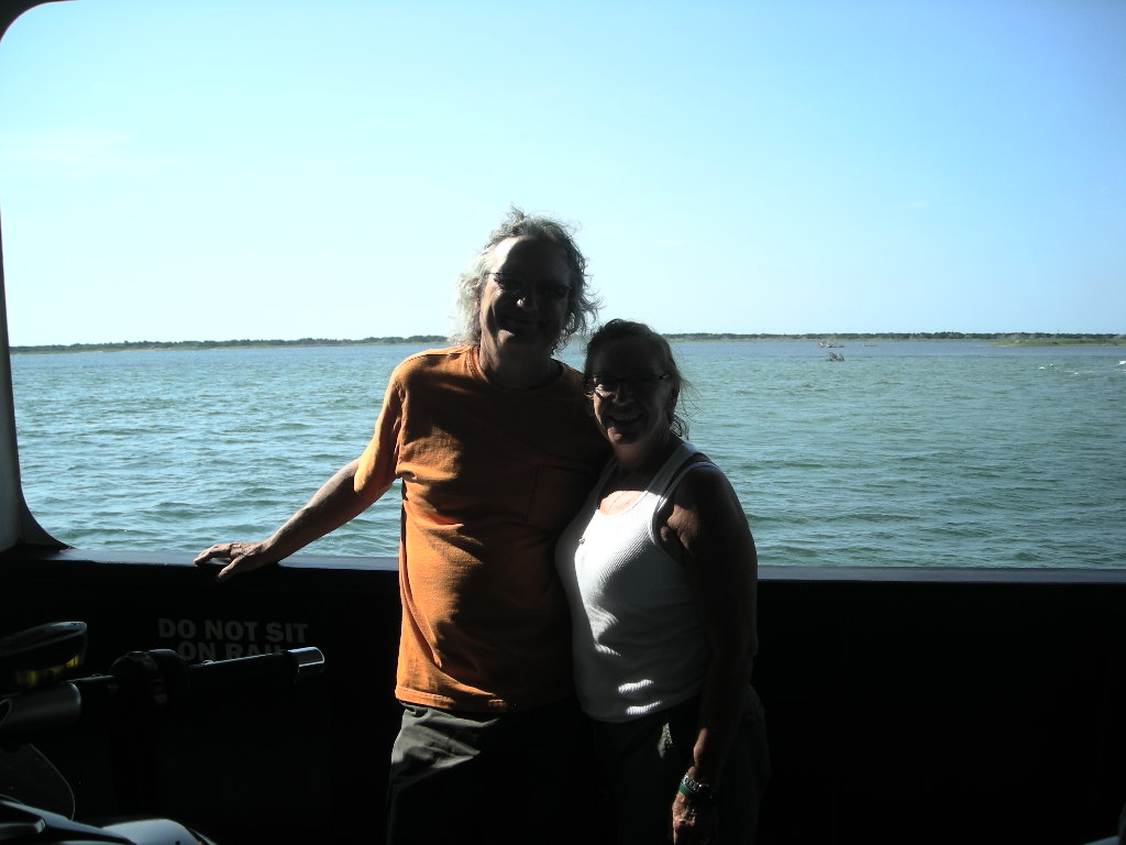
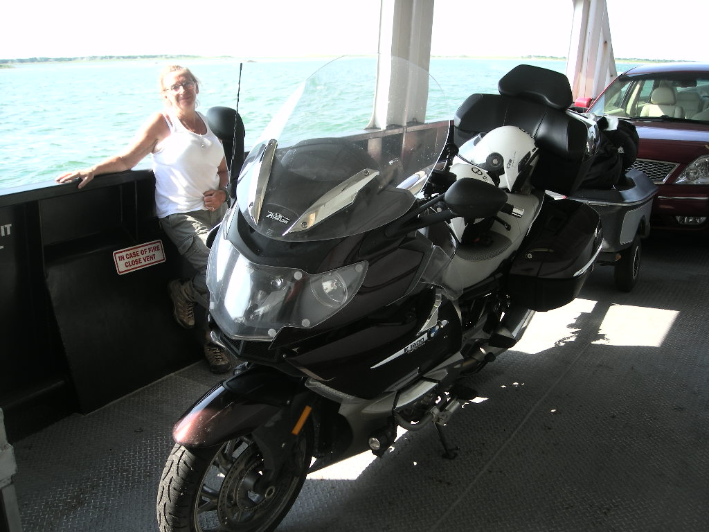
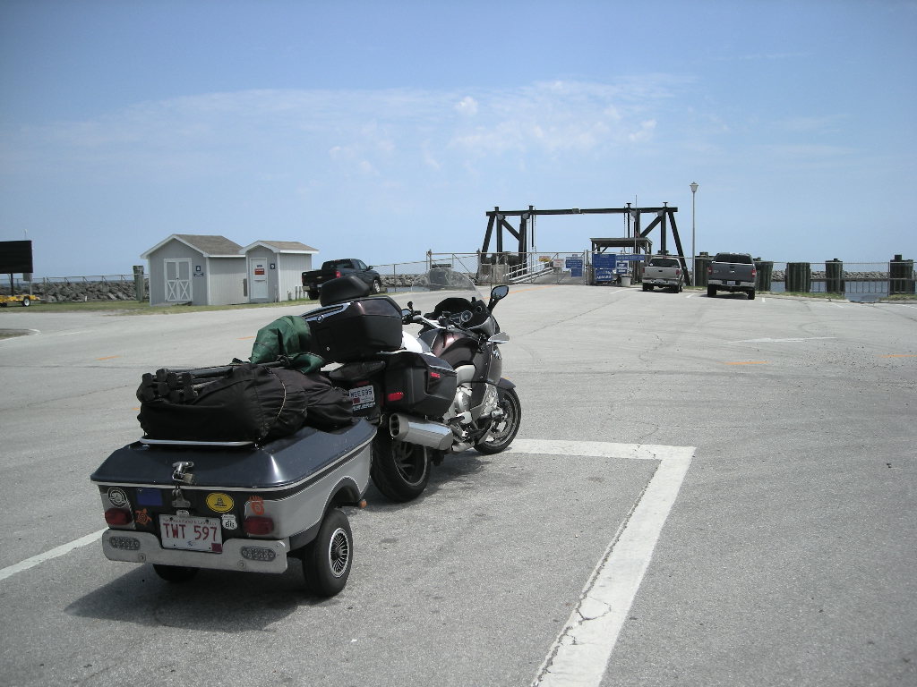
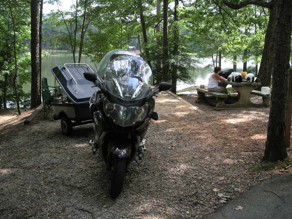
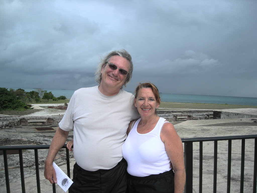
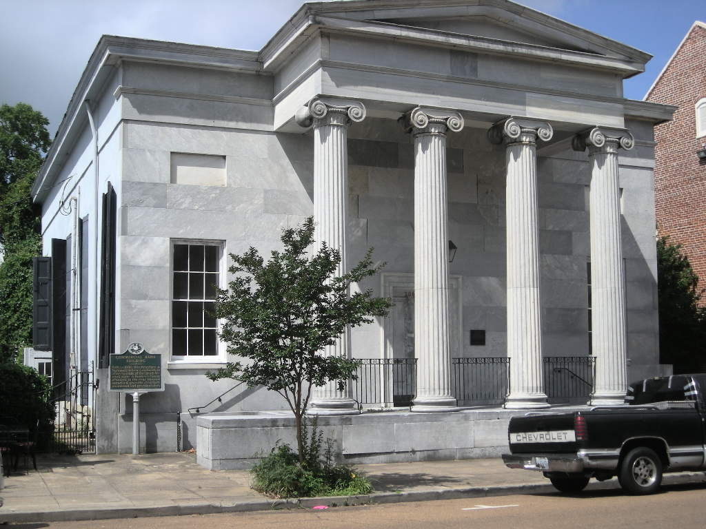
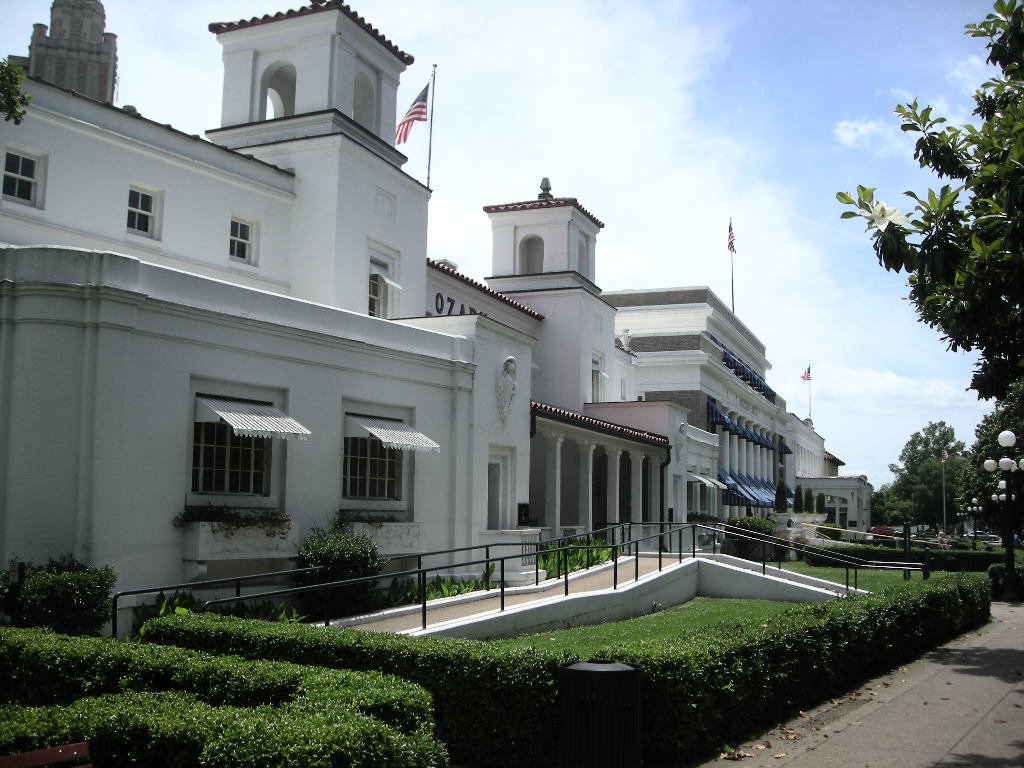
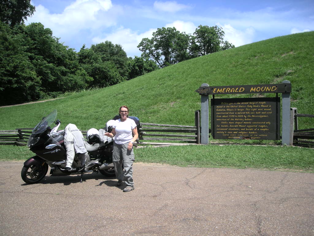
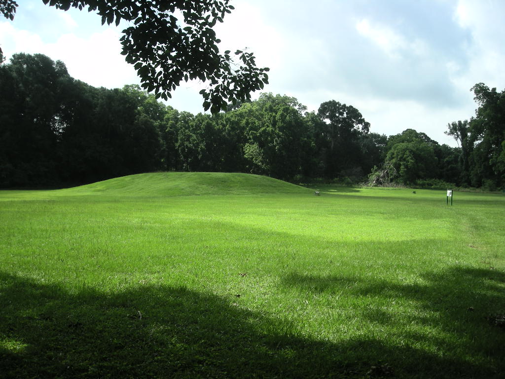
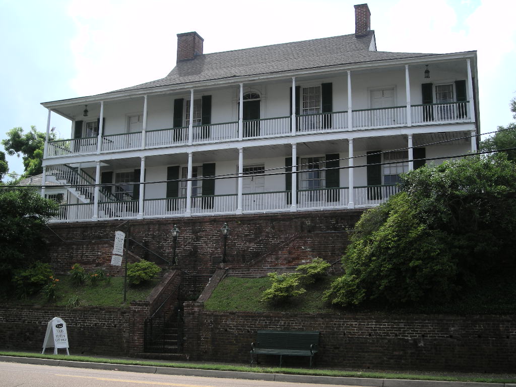
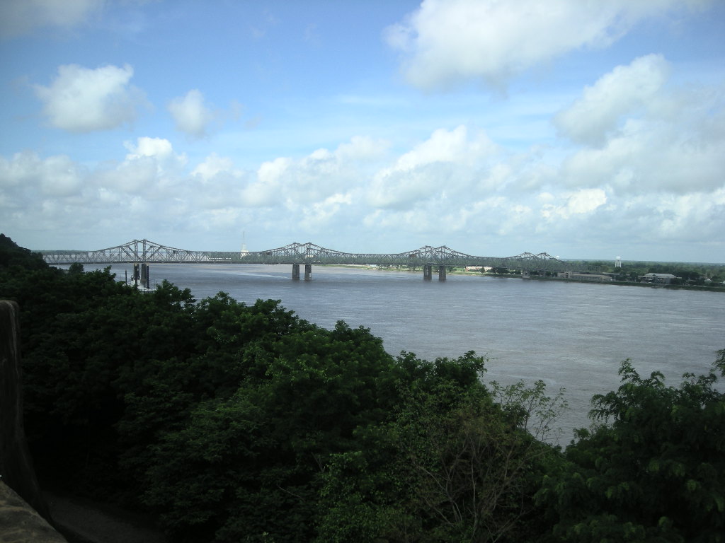
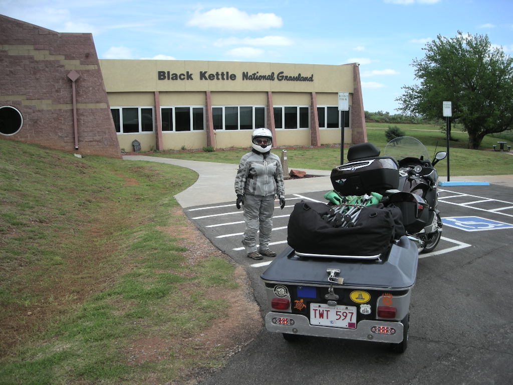
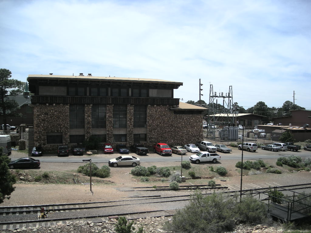
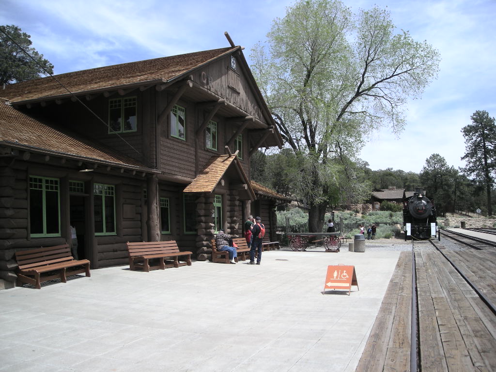
I made a change to our title, shortening National Parks Tour to NPT and sorry, no pictures this chapter…. There will be a lull in our reporting before the trip continues up into New England in July with stops in New York City, Boston and a few days in Acadia National Park with a few other sites sprinkled in for fun! Then we head back south and our plan is to cut the US right through the middle and explore the midsection of our country we did not get to last year while going west on our 2015 National Parks Tour. Stay tuned, much more to come! Greg & Cynthia.

2015 National Parks Tour Chapter 8 June 15 - 20

nl7501's picture

We started out as early as we could on Monday, June 15 and headed northwest to our first stop at the Biltmore House. If you’ve never been to a castle, this house is as close to one as you’ll get in the United States. The largest privately owned home in the US (178,926 sq. ft.), you have to see it to believe it. Go to Biltmore.com to get the facts on the house and the Vanderbilt Family. Very interesting stuff. By the time we left the Biltmore, it was pretty hot. I made note of the weather forecast and decided to hang out in the mountains of Tennessee and North Carolina a day or two to see if the expected heat wave would pass. As it turned out, it didn’t! Our next stop was the Andrew Johnson National Historical Site in Greeneville, TN. Since it was SO close and we probably would not be as close to Tennessee on our way back west, we decided to tag this site AND Tennessee for our Tour. Though the visitor’s center was a bit small, it was very informative. Also, it was a timely visit because in the book on General Sherman I am reading, he has lots to say about President Johnson and Reconstruction. The day was getting late and warm so it was good we had just a little bit of driving to get to our camp at Davy Crockett Birthplace State Park. Yup, that’s right, there is a park where Davy Crockett was born. Even a marker that read, “On this spot, Davy Crockett was born”. How exact is that?! Nice Park and a great site right on the river. We continue our water front camping!

On Tuesday June 16 we were off early in the hopes of beating the heat by getting to our camp before it got too late in the day. We only had about 200 miles to do and there were no stops planned. The road out of east Tennessee was a really nice ride. We took US 321 into Boone, NC and picked up the Blue Ridge Parkway for about 50 miles. We couldn’t resist the chance to ride at least a bit of one of THE best motorcycling roads in the US! By the time we got to Pilot Mountain State Park, it was pretty hot. It was the first time we noticed that North Carolina was getting heat warnings for the central and coastal areas. GREAT, just where we are going! The upside to staying at Pilot Mountain was that it was in the woods (so a bit cooler than the 98 degrees in the sun) and it is also a Natural Historical Landmark. Used by the Native Americans and later those settling North Carolina in the early 1800’s, Pilot Mountain can be seen from 100 miles away on clear days (though for some reason I needed GPS to find it…).

Since June 17 was forecasted to be an exceptionally hot day, we made a slight change to our plans and stopped at only two spots (both pretty much right along I-40) - Guilford Courthouse National Military Park and Bentonville National Historical Site (also a NC Historical Site). By the time we got to Guilford Courthouse, it was already 94 degrees at 10:00. We didn’t tour the battlefield since it was so hot but the heat made the film inside the air conditioned auditorium that much better! Guilford Courthouse NMP is part of the series of Revolutionary War sites that kept General Cornwallis busy till he moved north and eventually surrendered at Yorktown. At the visitor center I finally pick up a copy of Thomas Paine’s Common Sense. I have always wanted to read it. And how current is it! Part of the introduction reads, “…a long habit of not thinking a thing wrong, gives it a superficial appearance of being right, and raises at first a formidable outcry in defense of custom. But the tumult subsides. Time makes more converts than reason.” Those words apply just as true now as then! After our visit we made a beeline onto I-40 and headed further east and into even hotter temps by the time we got to Bentonville. Bentonville, NC was the site of what was probably the last major battle of the Civil War and was between General Sherman and Confederate General Joe Johnston. A victory for the Union, it did come at a heavy price for the South. We had a pretty good visit there and turning our sites to our campground at Cliffs of the Neuse State Park (pronounced ‘noose’), we sort of wished for rain since it was SO hot. We found our spot and just like the campground before, it was pretty well empty. We set up quick and TRIED to stay cool. It was oppressive heat, no wind and plenty of biting insects of all description. By early evening, it started to storm and we got rain alright…all night long! Trying to sleep in a hot, humid and damp tent is not a lot of fun. Everything was damp inside and straight up wet outside by morning (none of the important stuff though). Cliffs was also the beginning of my battle with mosquitoes. For some reason, it is my year for mosquitoes…(and other flying, biting pests).

We were up and packed in record time Thursday, June 18. We were trying to get it all packed BEFORE the next downpour! Even though we packed the tent and other related stuff wet, we hoped the blast to the ocean would dry it out or at least it be dry on the coast when we set up again. We headed east on US70 towards Morehead City. By 50 miles, the skies cleared off and so did our rain gear! Having rain gear on when it is hot and humid, raining or threatening, is just too uncomfortable but necessary. Our first stop on the Carolina coast was Cape Lookout National Seashore. This finished our blast across North Carolina effectively slicing the state in half, west to east. The visitor center is on Harkers Island and this part of North Carolina is WAY pretty! Water, seafood and great ocean views are at every milepost. Oh, and did I mention it was hot…? Once back on US70 east, we were soon on NC 12 headed north to Cedar Island and a highlight of our coastal North Carolina adventure. In order to get to Cape Hatteras and points north, you have to get on the Cedar Island-Ocracoke ferry. About a 2 ½ hour cruise of the Pamlico Sound on the ferry boat, the total $10.00 cost seemed like the best deal of the summer! Once off the ferry, we headed straight to our camp at Ocracoke Campground, only a few miles from the town. We set up quick and since the heat had not subsided at all, we decided to go back into town and find a restaurant to hang out in and get dinner. The Ocracoke Oyster Company was just the place! By the time we got back, it was off to the beach! The beach here is GREAT! No one on it but just a handful of folks for as far north and south as you can see.

After another really hot, mosquito and biting fly filled night, we packed and hit the road early Friday morning. The drive up NC 12 is really nice. You are on just a strip of sand between the Atlantic Ocean and the Pamlico Sound. I think we could live there! Once more we had to ‘ferry it’ from Ocracoke Island to Hatteras but this trip was only 40 minutes on the boat and was FREE! Our first stop was the Hatteras Island Visitor Center in the National Seashore by the same name and home of the Cape Hatteras Lighthouse National Historical Landmark. Just southeast of this area is also where the USS Monitor sank (one of the two Ironclads from the Civil War) and is a National Marine Sanctuary. We were going to go up in the lighthouse but since there was a heat advisory for the lighthouse (it is painted black and has no windows), we opted not to go. We continued on NC 12 along Hatteras Island and really enjoyed the ride. No traffic, beautiful scenery and the constant smell of salt air just made us feel real good and forgetful of just how hot it had become. We stopped at Pea River National Wildlife Refuge and that is when it hit us- 99 degrees but the heat index was 103. It felt every bit of it too! We got a chance to explore the visitor center and Alligator River NWR too (which is just across the Sound) and shares the visitor center. There is a lot of interesting wildlife along the coastal regions and we saw more turtles than we could count. This year since being in Arkansas, we have seen innumerable turtles. They have been all over the road (mostly alive…!). Last year it was bears, this year it’s turtles. Our final destination for the day was Oregon Inlet Campground and we weren’t too excited to see it while on our way to a couple of other sites. It was just like Ocracoke Campground- NO shade. Our plan was to stay two nights but I had my doubts. We picked our site and just left to go visit Fort Raleigh National Historical Site on Roanoke Island hoping it would cool off a bit later in the day (it didn’t) and explore a bit waiting for the sun to go down (and eventually it did…). Most folks know about the Lost Colony. Those 117 colonists disappeared from here and no trace has ever been found. Fort Raleigh is the site of this action which took place beginning in 1584. Pretty interesting story. We exited Roanoke Island the way we came in and headed north to Kitty Hawk and the Wright Brothers National Memorial. What an inspirational place! Just for starters, the Wright Brothers never finished high school and neither had any formal training, they learned all they knew from books. They managed to solve what is considered to be a milestone physics problem- the proper pitch and angle of propellers. Combined with only their own money and determination, it all culminated in what at the time was considered impossible- the Wright Brothers made four flights December 17, 1903, the longest being 852 feet and launching what almost all of us take for granted, powered human flight. From that first flight, it was only 66 years till a man was on the moon. AMAZING…! You got to get out here to see this stuff!

I decided that after the past three days and nights being so hot, and the campsites filled with mosquitoes and biting flies, I had had enough! I was just wore out. Cynthia was fairing a lot better than me but agreed it was time to motel it and besides, we needed to catch up on writing and a host of other things we had not been able to get to since we were in some fairly remote areas. We camped only one night at Oregon Inlet and planned to stop in Hampton, VA after a visit to Fort Monroe National Monument.

Stay tuned, the trip to the coast is coming up! (…and much more!) Greg & Cynthia

2015 National Parks Tour Chapter 7 June 8 - 14

nl7501's picture

Monday, June 8 started off really good. The weather was holding out albeit a bit humid. Our night last night was very pleasant except it was FILLED with frog noise! (we are camped right on the lake). Though we never really thought about it before, our ear protection for the motorcycle DO come in handy at other times! We now know that there is no campground too noisy for us. After a good night’s rest, we were ready to do some more exploring. We decided to stay another night at FDR State Park and do a round trip out to Horseshoe Bend National Military Park, in the hinterlands of Alabama. I found that if you ever want to really explore the backcountry, set your GPS to ‘Shortest Route”. We found ourselves on mainly County roads and passing through some pretty interesting small towns. Places you can’t help wondering what exactly the folks around there do for a living. It was worth the time we spent motoring around backroads. Only about 70 miles from our camp, Horseshoe Bend NMP was the site of a major battle between the Red Stick Creek Indians and Andrew Jackson (just before his famous victory at the Battle of New Orleans). The park is small and well maintained and we encourage anyone to visit and get the history behind what went wrong in US policy between Native Americans and the US government. After yet another Walmart trip, we were back at camp to enjoy a leisurely afternoon and the relatively cool shade of our campsite. We also had time to chat with the camp hosts and got more helpful information about RVs.

On Tuesday we had decided to keep heading north with a stop around Atlanta and onwards into northern Georgia. Our route took us out of FDR State Park and up US 27 towards La Grange, GA. I know I’ve said it before but the US highways are the way to go! WAY more picturesque with lots to see, the pace is also slower so you get to enjoy the ride more rather than speeding along the boring interstate. They all tend to look the same just about everywhere. Once near Atlanta, we cut up along the northwest into Kennesaw and to our interim destination, Kennesaw Mountain National Battlefield Park. It was a timely visit too. I have been reading a biography of General William T. Sherman and just completed the part about his efforts from Chattanooga, TN down into Georgia and eventually battling for and winning Atlanta at Kennesaw Mountain. This is an excellent Civil War site even though it is surrounded by private land (i.e. homes). We had a great visit! Good film in the visitor’s center that really explains the sequence of events with just the right amount of detail. This part of Georgia is very pretty and the park is VERY popular with locals who seem to really enjoy the vast trails that are in the battlefield. Put this one on your list too! After leaving there, we picked up I-575 north and soon we were in Chattahoochie National Forest frantically looking for a campsite before the rain deluge (that never came…). We found a really nice spot on Lake Blue Ridge at a National Recreational Area administered by the State of Georgia. Once again right on a lake, we were starting to get used to our daily lakefront real estate!

By now it was time to head to Denver, NC, just northwest of Charlotte to visit our friends again this year. We continued on US routes staying on US 76 through the National Forest and it is a great ride! On the lower extreme of the Appalachian Mountain chain, this northern part of Georgia is a must area to explore later. Dotted with lakes, very nice small towns and a great motorcycle road (US 76), we put it on our list for next year! Too bad the route isn’t longer because we found ourselves out of the mountains and approaching Clemson, SC to try and pick-up another historical landmark to count for National Parks Tour and an additional state. What we were looking for was Fort Hill National Historical Landmark aka John C. Calhoun House. The great thing about finding this site was that it was smack dab in the middle of Clemson University! What a nice campus! We got our photo since we could not enter the house and rode on to I-85 and blasted north towards Charlotte. On US 321 out of Gastonia, we just came up on a really bad accident not too far from our destination where one of the cars was ripped completely in half, one half on the median by our side of the road and the other half on the far right guardrail of the southbound traffic lanes. I hated to think about how that all happened but hoped all were okay (though it didn’t look promising). We were at our friends in time to get cleaned up and head over to their son and daughter-in-law’s for a boat ride on Lake Norman and dinner at a lakeside restaurant. What a great time we had! Motoring back on the boat from dinner in the dark was quite a relaxing experience. It was just the start of another great visit with them!

Thursday was a relax day for us just spending time with our friends and doing a little shopping. I was able to get an appointment for Friday afternoon at BMW Motorcycles of Charlotte (where they treated us so good last year) to get a front tire replaced and rear brakes checked. This will mark 13,000 miles for the Michelin Pilot Road 4 GT, the best mileage out of a front tire I have ever gotten. To be consistent in comparisons, the wear bars are just meeting the tread surface now. Not bad… As for the rear brakes, this marks over 25k miles since they were done in Denver, CO last year.

Friday, June 12 was another HOT day here in south-central North Carolina but we were having such a good time, it didn’t matter! By 2:30, I made my way to BMW Motorcycles of Charlotte, just a 45 minute blast down I-485. Even though the appointment was for 4:00, I like to get in early just in case the shop has an early opening or someone is freed up unexpectedly. The folks at BMW Motorcycles of Charlotte were very helpful. If you are in the area and need service, give them a call with as much lead-time as possible. They got me on my way by 6:15 having put on the front tire for only $30 (not counting the cost of the tire of course) and did the rear brakes. When you find a dealer (or any business) this good, give them all the business you can!

By Sunday June 14, I had made our plans for next week. We decided to leave our friends, albeit with regret, on Monday. It was a wonderful visit and a great chance to relax a bit and enjoy our friends. Confronted with some real heat (upper 90’s and the famous mid-Atlantic humidity), we planned a trip west into the mountains (to pick up Tennessee and the Andrew Johnson National Historical Site) before a blast across North Carolina to the coast. Getting the trailer organized and all our equipment checked out and ready to go, we were looking forward to more adventure.

Stay tuned, the trip to the coast is coming up! (…and much more!) Greg & Cynthia

2015 National Parks Tour Chapter 6 June 1 - 7

nl7501's picture

On our way to Gainesville, we stopped along US 27 for a break and remove some rain gear. Cynthia took her glasses off and after pulling off to continue, she realized they were still on the trailer! Well, no they weren’t. We went about a 1/10 of a mile and do you think we could find them? Nope, they just vanished. We walked the road and they were nowhere to be found. It is a bummer when you lose important things. Lesson learned. Next time bring extra of the important things if you have them…just in case! Fortunately for us, we had ordered them from Zenni and all we had to do was order them again and send them straight to Baltimore. No real harm done. However, if you are the driver and have to have them, be sure you do! We had a good night in Gainesville and the next morning was beautiful! Monday, June 1 saw us heading south on I-75 to eat up more miles to our next stop in Bonita Springs. The day ended with the obligatory afternoon thunder storm but by then, we were inside.

Tuesday June 2 we were up early and after a brief stop at Walmart, we were motoring down the Tamiami Trail aka, US 41. This was to be our route across Florida to the east coast. Our first stop was the Big Cypress National Preserve. The Preserve was created to protect the fresh water’s natural flow into the Everglades and the Ten Thousand Islands. Consisting of 729,000 acres, the Preserve is vital to southwest Florida and the Gulf of Mexico. It really is a beautiful area and not a swamp of backwater either. The water within the park is really clear since it is constantly flowing from Lake Okeechobee!

We left the Preserve and within a few miles, were at the Everglades National Park. We stopped at the Shark Valley Visitor’s Center to check out the film but was told they did not have one at that location. We were quite disappointed because the film at Big Cypress was so good, as are most park films. In addition, to get to the observation tower not far into the park, you had to take a tram that was $20 per person. We opted not to do that. There are 4 visitor’s centers around the park since the Everglades are so big. Created in 1947 to protect the Glades, the demand for fresh water from nearby Miami and other cities are stressing the environment. Any of the park visitor centers have additional information about the area.

After leaving the Everglades, we continued on US 41 to FL 997 to Homestead and then to the Atlantic coast to visit Biscayne National Park within sight of Miami and right on the Biscayne Bay. Florida 997 is a nice short cut but a really bad two lane road. Apparently, they are widening the road to four lanes so you might want to give that route a few years yet! Once at the Biscayne NP visitor’s center, we were pretty disappointed. Though the film was good, the rest of the displays etc. weren’t all that nice. I guess since the park is mainly a boater’s park, we didn’t find it all that interesting. I am sure other’s do though. Not staying too long, it was a short hop to US 1 south and our destination for the day at Marathon, in the Florida Keys. We got chased by rain the whole 50 miles or so to Marathon, arriving just as the heavens opened up! We continued to have good luck in that the hotel was right in front of a really nice restaurant called Tarpon Creek. We took our time settling in and sat at the Tiki Bar to enjoy the view, watch the rain and enjoy two of the best Cuban sandwiches we’ve ever had. The mojitos I had were pretty good too and quite fitting for the occasion!

Over the past few days our reservations to Dry Tortugas National Park had been fooled up one way or the other. I first made ferry reservations to go there from Key West on Tuesday, June 3 but thinking it through, the boat ride would have taken up too much of our day. The other option, though twice as expensive, was to take the floatplane. We’ve never been on a floatplane so we decided to go for it! Cancelling the ferry, we THOUGHT we had reservations on the plane for Tuesday (today) but found out we didn’t. Since I didn’t confirm with them soon enough, the best we could do was at noon on Wednesday. One things’ for sure- you have to stay flexible! Since we had all day Tuesday free now, we went on into Key West to visit Fort Zachary Taylor and the Coast Guard Cutter Ingham, both being National Historical Landmarks. In the meantime, we made an appointment at BMW Motorcycles of Miami to service the bike on Friday morning, giving us Thursday afternoon after our flight back to go the 150 miles or so to Miami. It has been 6,000 miles since we left Las Vegas, and here I thought the country was only about 3,000 miles across!

The drive down US 1 can be tricky. There are LOTS of dangerous intersections and the opportunities for a car to take a left in front of you abound…and they do! If you are coming this way, take your time and be extra vigilant! Staying at the 45 mph speed limit (that is most of the way) is a good idea. Be ready for anything. We did not think the scenery got really nice until after Islamadora, which is about 40 miles down. However, once past Marathon, along the way the views of the ocean on both sides of the road are really nice. The remnants of the railroad that used to run down along the Keys is still evident. I believe that was mostly destroyed by Hurricane Irene in the 20’s or 30’s. Not sure but it was a MAJOR hurricane! It is pretty cool to realize that anywhere along the road, you are actually WAY out in the ocean!

The visit to Fort Taylor was similar to any of the coastal forts built by the US in the mid-1800. Though smallish in size, it did afford pretty nice views of the ocean! Just around the corner is docked the Ingham. However, at $20 per person to do a self-guided tour, we decided against that and toured around Key West a bit instead. Key West will definitely be a future destination for us! It is a really quant city and I can see why folks like it so much! We headed back to Marathon and hit some strong rain just before our hotel. We relaxed the afternoon away and caught up on writing and organizing. It’s off to Key West again tomorrow and our first seaplane ride!

We got an early start on June 4 to be sure we would make it to the airport in time for our flight. We were SO early I decided to eat up some time and find the marker for the southern-most point in the continental US. It was pretty easy to find, follow South Street to the water! We met three guys from Ontario on motorcycles while there and had a nice chat with them. We got to the airport about an hour ahead so we had lots of time to visit the main terminal and get some drinks before we left. It was pretty exciting taking off in a small plane (it uses the runway just like other planes). I happened to look at the manufacture’s plate and took notice that the plane was about a month older than me! Born on September 18, 1957, this de Havilland DHC 3 Otter felt a little like me too! No worries though, it does land on water! Before you knew it, we were flying low (about 500 feet) above the water so we could spot turtles and/or sharks in the shallow water. I didn’t see any but Cynthia did. I did get to see a ship wreck though. The landing on the water was quite a thrill and I must say much smoother than a few Air Canada flights I have been on. The view of Fort Jefferson (Dry Tortugas NP) was pretty nice. We taxied in and somehow went into reverse to anchor the plane to the beach. We had a full 2 ½ hours to roam the fort and surrounds. It was a beautiful day in a great location! The trip back seemed short but don’t they always? We got on the bike and made our way back up the Overseas Highway arriving in Miami close to the airport by around 7:00. Checking twice, I noted we were just across the road from BMW Motorcycles of Miami. How convenient!

We were up early as usual even though our trip to BMW would last all of three minutes. Waiting for the folks to open at 9:00 we planned to be in Winter Haven by evening. That was not to be. Besides the Friday traffic late in the day, we spent our day at the dealer till 2:30. Got lots done though! New software update, they replaced the turn signal switch (even though I told them it had been replaced already by my favorite dealer, BMW Motorcycles of Las Vegas). Not sure why but they also replaced the starter switch. All free of charge which meant all we spent was the time waiting for it. We did get 8,500 miles out of the rear tire and had more to go. I suspect we could have seen 10,000 out of the Pilot Road 4 GT. With another one on, we may push this one to see. With the change in oil and a rear fluid change, we ALL felt much better and headed north up US 27. By the time we put 175 miles on, we were approaching thunder storms around Sebring so we decided to bail out for the night.

Saturday, June 6 we decided to put in a relatively short day and find a campsite early. We really miss camping when we get away from it for too long (this being about three nights).Little did we know but we would get the very last site! Its all too familiar- Friday and Saturday nights really require a reservation! Anyway, off onto US 27 again and hooking up with I-75 North just around Leesburg, we quickly ran into a back-up. The the ‘go’ extremely slow and it being 92 out in the sun, we prayed for the rain that never came. After losing about an hour, we got back up to speed but we were pretty spent after sitting in the sun without any wind to cool us. I had planned on a campsite at Stephen Foster SP but the attendant told us upon arrival they were sold out. She did call the next nearest park and found they had one site left and they would hold it for us. The 25 miles to Suwannee State Park seemed to take forever! Needless to say, the last spot was the least desirable but we didn’t care. We met a fellow biker that was traveling in his RV and towing the bike and got into a long conversation about each of our travels. Seems he is doing the same thing we are albeit only for this summer AND in an RV. Ken invited us over for some air conditioning in his rig and we could hardly refuse! We had a great visit, good conversation and made a new friend! We left soon after dark and after battling the gnats for a short time, we turned in.

Sunday June 7 started out good and stayed that way! We got an early start and headed north again on I-75 to Ocmulgee National Monument in Macon, GA. We weren’t sure what to expect but the site is an excellent example of a Mississippian Native American settlement. From about 1,000 years ago till the infamous Trail of Tears, the Creek Indians’ ancestors built a very extensive settlement along the Ocmulgee River. Visible today are many of the mounds used as burial, temple and other unexplained facilities. It was a nice visit with the customary good film and we were off again in the Georgia heat to find our way to FDR State Park. It ended up being a really nice park on a manmade lake (CCC project) and we got a spot right on the water.

We will pick up again in the next chapter of our 2015 National Parks Tour. Stay tuned, much more to come! Greg & Cynthia

2015 National Parks Tour Chapter 5 May 21 - 31

nl7501's picture

We rolled into Russellville on Thursday afternoon. Over the next few days, we took a few rides about the area visiting Mt Nebo and Dardanelle State Parks. On the way, we spotted the attached photo at a Baptist Church. I can’t explain it! And I am not sure I should! Besides that, both parks were pretty nice. After a great visit with Cynthia’s cousin, we had to bid our farewell till we (hopefully) see them later this trip on our way back west or in Las Vegas later this year. We had a relaxing 4 day weekend that included Memorial Day. Our weather was iffy most days as the storm that was behind us caught up. And did it catch up! Monday night, just in time to pull the steaks and chicken from the grill, the tornado sirens started to wail! Now, we’ve never been in an area to hear those things or experience a tornado and I must say it was disconcerting. You know, a motorcycle exposed is just about the first thing to take a hit if a tornado comes by! We were pretty fortunate though, only a really hard rain fell but hardly any wind did any blowing. Aside from the kickstand sinking in the soft driveway (like last year…), no harm done. By the time we awoke to leave on Tuesday, the weather was breaking.

Tuesday May 26 started out pretty good. We back-tracked to Ft Smith to visit the Ft Smith National Historical Site. By the time we got there, blue skies were becoming the norm. Located pretty close to the downtown, the fort was initially built to facilitate peace between the Cherokee and Osage Indians between 1817 and 1824. By the mid-1800”s Ft Smith, though not seeing too much Civil War action, was a major supply post for the Confederates first and then the Union Army. By 1871, Ft Smith was the Federal Court to try outlaws who tried to find refuge in the Indian Territory (present day Oklahoma) and the surrounding states. Thirteen thousand cases were heard by Judge Parker and 160 were sentenced to hang. The gallows are still there! If you ever saw the Clint Eastwood movie, Hang ‘Em High, it roughly parallels the adventures of the hundreds of US Deputy Marshals that rode out from there to maintain law and order.

We then headed north to Pea Ridge National Military Park on I-49 in the upper reaches of north-west Arkansas. Known as the battle that saved Missouri for the Union, Pea Ridge saw action March 7 & 8, 1862 when an attack by Confederate forces was put down hard by a much smaller force of Federal troops. The park has a driving tour with cell phone talks at each of the 11 stops along the seven mile loop road. If you are up also around Branson or the south-west of Missouri, it is well worth a stop.

From Pea Ridge NMP we headed east towards Harrison on US 64. If you are up this way, US 64 is a great motorcycle ride. Traveling in the Ozarks, the highway passes through beautiful Eureka Springs (with LOADS of motels, all having vacancies) and many of those with signs saying either ‘Bikers Only” or some other advertisement that bikers are welcome. That’s by far the highest concentration of biker friendly territory we’ve ever been in! And no wonder, the road is a great motorcycle road. Along the way we picked up a Motorcycle Riding Guide of the Ozarks that has mapped out seven major loops from Harrison, AR. The guide even gives the mileage AND the number of turns (from a high of 662 to a low of 316)! How great is that! Complete with a map, a brief summary and written directions, we plan to be back here for sure! If you are interested in more information, try MotorcycleArkansas.com. Harrison was our jumping off point to visit Buffalo National River just south along AR 7. The park is mainly a rafting and canoeing park but we found a campsite just off AR 7 north of Jasper that was right on the river. The road in was a little tricky going in but fortunately it was short. We had a great site and with almost no one else in the campground.

Up early Wednesday, May 27 to the sound of the most irritating bird we have ever heard. So much so the guys camped next to us got up and out to chase it away! Back up the steep gravel road we were soon headed south again with our sights on Hot Springs National Park. We stayed on AR 7 the whole way, pretty much cutting Arkansas in half from north to south. Almost the entire route is dotted in our Rand McNally, and rightfully so. The hot springs at Hot Springs have been around a long time. There is documentation that Native Americans visited as early as the 1700’s. Since then, a whole town has grown up there! The water is not heated by volcanic action but rather from the shear depth that it travels, gaining 4 degrees every 300 feet down. The water flowing from the springs today (there are many) is 4,000 years old! Once catering to mobsters, the bath houses on what is now known as Bath House Row National Historical Landmark still ply the trade as well as serve as the National Park Visitors Center and a museum. The town is worth a visit. It is called, “America’s Spa”. There is also a loop road to the top of the mountain that backs to Hot Springs and affords great views. We camped at the park campground even though the sites were a little close together but ours backed to a pretty big stream and that put us asleep immediately! Besides, at $10.00, we thought it a bargain for a national park!

We continued on AR 7 to El Dorado, AR and then south to cross the Mississippi into familiar territory at Natchez, MS. We headed straight to Natchez State Park up US 61 where we stayed last year. It is a great park with nice sites. We stopped for our lunch at the Felsenthal National Wildlife Refuge visitor’s center and spent time looking over the exhibits of the abundant wildlife that is in that area. Along the way we rounded turns only to find the road completely flooded (which gave pause I assure you!) and what seemed like a stream to ford under the railroad bridge. Not one to turn back, we pressed on albeit slowly. All around the Ouachita River basin was flooded from the recent rains. All in all though AR 7 is a great road. The day was hot and we were glad to get in the shade of the campsite even though the humidity remained pretty high.

We planned to stay in Natchez two days since there are SO many places we did not visit last trip. We have about 15 National Historic Landmarks to see, a lot of them the antebellum homes in and around the city. Well, we did not get to the 15! I guess we got ‘housed out’! Besides they all tend to start looking the same. We did however get to two other interesting places. The first was the Grand Village of the Natchez Indians. Just outside of town, the area was once the village for the Natchez Indians and was chronicled by early French explorers. Complete with three mounds, the museum has many artifacts from the excavations that took place in the early 1900’s. Our next stop was close to our camp, just off the Natchez Trace Parkway. Emerald Mound was built and used from about the 1200’s and 1700’s. The mound is huge! Thirty five feet high and it covers 8 acres! Pretty cool area and it is all open for you to hike on and explore. It is a wonder how the Indians built up such a high mound with no modern tools or machines.

We had a few showers in Natchez since it was so humid but on Saturday, May 30, we had a great morning. We packed early and hit US 61 (The Great River Road) south towards Baton Rouge, LA. Along the way, we wanted to stop at Port Hudson National Historical Landmark in Port Hudson, LA. This was the site of the longest siege in US military history. Controlled by the Confederates, the fort at Port Hudson commanded a stretch of the Mississippi River. The siege began on May 23 1863 after Union troops marched from Baton Rouge to take the fort and help open up the Mississippi from Port Hudson to Vicksburg. Forty-eight days later, the Confederates surrendered. Though the Mississippi River no longer takes its course close to the fort as in 1863, the grounds and especially the museum are well worth the stop. They had one of the best displays of any Civil War site we’ve been to. Pretty amazing for being such a relatively unknown place. From there we decided to visit Oak Alley Plantation, it too being a National Historical Landmark and one of the very best antebellum homes that used to line the lower Mississippi River in the early to mid-1800’s. We crossed the river just north of New Orleans and along LA 18 is where you will find Oak Alley (you can’t miss it!). Built by French settlers in the early 1800’s (before the Louisiana Purchase) as a sugar plantation (which the remaining property still is), Oak Alley is a must see if you only get to see one plantation home. The 300 year old oaks are worth the visit by themselves!

It was getting late and we wanted to make a campground before it got too late (meaning they would be full), we blasted down I-10 towards New Orleans and just missed a big thunderstorm by cutting off on I-610 towards Slidell. We found a great spot near Ocean Springs called Shepard State Park in Mississippi.

Continuing east, we took off early Sunday to try to burn up as many of the 850 miles left to get to Marathon Key, 50 miles from Key West. It was all about the miles. We made reservations for a hotel in Marathon (thanks for the tip Gary!) and needed to do the 850 in three days. It all revolves around getting out to see the Dry Tortugas National Park off the coast. After a grueling 420 miles from Shepard to Gainesville, FL, we opted for a hotel room since the day was filled with rain and when not raining, hot as hell! It just wore us out. Now we have an easy two days and 400 miles to go. That’s much better for sightseeing!

We ended May with a total of 12,477 miles thus far with eight states (17 more to go) and 51 parks (one more than needed) on our 2015 National Parks Tour. Stay tuned, much more to come! Greg & Cynthia

2015 National Parks Tour Chapter 4 May 1 - 21

nl7501's picture

Our summer odyssey began May 10 after our Mother’s Day calls to our moms. We planned on a short 260 mile trip to the Grand Canyon as our first stop and believe it or not, was one of the parks we never got to last year during our National Parks Tour (for some reason!), even though it is so close. Before we left, I did receive the new windshield just in time to see how it functioned and I am pretty happy. I ordered the tall GT screen for the GTL and found the wind protection, particularly the additional deflection of air over my head, to be very good. The downside is I think the side wind has increased though not objectionably so. Aeroflow told me they are beta testing a GT screen that is slightly wider and I think that would provide a bigger still air pocket for the pilot of GTL’s. Cynthia says she likes the passenger protection the one we have now provides.

We had reservations at Mather Campground so there was no need to rush and we took our time even though it was highway practically the whole way. We had great weather for camping albeit cold at night (low 30’s). Besides the park itself, there are seven national historical landmarks (six on the south rim) at the Grand Canyon. One was really hard to find and the other no one heard of! The six are the railway depot, the El Tovar (hotel), the park operations building (that was a hard one to find), the power house, the Grand Canyon Village as a whole and a place called the 1956 Grand Canyon TWA-United Airlines Aviation Accident Site. That one we could not locate. Pictures will have to suffice for the rest.

We stayed two nights with plans to visit our friends in Tucson on Tuesday for a few days. On the way, I scoped out Tonto National Monument as a possible stop with AZ 87, 188 and AZ 77 thrown in as a ride attraction. Both AZ 87 and 188 are roads that have the telltale dots along them in the Rand-McNally book and they did not disappoint. All were low traffic-high fun rides in the high desert of east-central Arizona. Besides Payson and Globe, there are few towns. Places like Strawberry and Pine looked particularly interesting though we did not have time to stop and explore.

Good thing we didn’t! Our day ended up being 387 miles, a bit more than I really wanted to ride AND have time to explore places. Our visit to Tonto NM was pretty nice, no one there and we had the place to ourselves. They have a great film that tells you just about all you need to know about the cliff dwelling and the Tonto Basin, Salt River in general. The only thing the film did not tell us about but the Ranger did was the giant bee hive that has closed access to the dwelling. You can’t get any closer than 50 yards. Not wanting to tempt fate, we enjoyed the wonderful view from the observation deck above the visitor’s center. By about 5:30, we were in Tucson for our multi-day visit and stock up on a few things that we overlooked.

Sunday, May 17 we left early with a short trip to Gila Cliff Dwelling NM in New Mexico. We were going to stop by Fort Bowie along the way (just south of I-10) but with 16 miles of dirt road, we opted not to. We got to Gila just in time before the visitor’s center closed. The drive up NM 15 from Silver City is grueling when you are in a hurry! Very curvy road and not one that is conducive to carving the curves when pulling a trailer! Nonetheless, we were happy not to have to drive back down NM 25 (it is one way in about 44 miles) to find camping because they did have free camping in the monument. The evening was cold and VERY clear. The skies were alive with stars!

We packed early hoping to make a few stops along our way to the Texas border just past Clovis, NM but our plans got changed by the day’s circumstances. We spent a fair amount of time trying to find the Prehistoric Trackways National Monument just outside Las Cruces and never did have success. My GPS had us going down dirt roads, on private property and backtracking all over the place! Since the website did not have an address (other than Las Cruces, NM) we had to use the coordinates. Hence the problem. We decided to just move on with a quick stop at McGinn’s pistachio ranch to load up on green chili pistachios in Alamogordo. Since we were so far form Clovis, it being pretty hot and so late in the day, we decided to camp at Valley of Fires National Recreational Area just outside of Carrizozo, NM. With a storm front moving in as we were setting up the tent, it was tough to hold the tent (and everything else) while setting up. Everything wanted to blow out onto the malpias (lava field bad lands). The wind blew pretty strong all night with ample lightning but hardly any rain.

Tuesday, May 19 brought a really fine day and we decided to stay another day since we weren’t in a hurry and it would be nice to just relax after the more than 360 miles from Gila. Besides, we had a great site (at $7.00 a night!) and the campground had showers too (a real plus….). Since we had a whole day, we back-tracked to Three Rivers Petroglyph NM just a little south of our camp. Three Rivers Petroglyph NM is about two miles off US 54. It has a self-guided trail that takes you to hundreds of petroglyphs mostly done about 700 years ago. An easy place to get to, we recommend a visit. We spent the rest of the day journaling and organizing the trailer.

Our plan for Wednesday was to get to Lake Meredith NRA just north of Amarillo, TX with a stop at Alibates Flint Quarries NM. However, our plans got fooled up again. Little did we know a pretty big weather bomb was setting up for the whole southwest. Headed out US 380, we did get to stop at Lincoln, NM which is a national historic landmark on our way to Roswell. Turning northeast, we started to hit cool (felt cold really) weather as we traveled towards Clovis on a pretty lonely road, US 70. By the time we got to Clovis, it was clear we weren’t going to make Lake Meredith AND camp out in the damp cold. I think I saw more cows on this leg of our trip than I have ever seen in my entire life! It should have come as no surprise when we saw that Hereford, TX is the cattle capital of the world! I never saw so many feed lots ever! However, it was a good sign for dinner later that night! It was an astonishing 49 degrees by the time we checked in at the Holiday Inn in Amarillo. A few minutes on the Weather Channel made it all clear. We had to change our plans.

We decided to make a run for Russellville, AR where we had planned to visit one of Cynthia’s cousins, but later than it was working out to be. We hit the road early trying to get out ahead of the front. By the time we got to Oklahoma, the skies were much clearer (albeit not completely without clouds) so we decided to side track about 25 miles and visit Washita Battlefield NHS and Black Kettle National Grassland. Washita was the site of an Indian massacre perpetrated by none other than, you guess it, General Custer in 1868. After traveling out that way, I got a new appreciation for the Oklahoma countryside that stayed with me all day as we passed farm after farm. The Washita River is a beautiful area although cloaked in tragedy. We got back on I-40 headed east, set the cruise control for 75 and ground away the 552 miles to Russellville, eventually out-running the weather, at least for Thursday! Our gas mileage suffered quite a bit at 75 mph while fighting a head wind though. No matter, beats riding in the rain! We arrived safe and sound at Cynthia’s cousins and we had a grand time catching up. We plan a few days here visiting and waiting till the weather passes and then we’ll back track a bit and explore northeast Arkansas before continuing east into Mississippi.

Stay tuned!

2015 National Parks Tour Chapter 3 February 10 - April 30

nl7501's picture

On March 8 we headed out on a ride to a pretty obscure site in Nevada called Lunar Crater National Historical Landmark and Byway just east of Warm Springs, NV. To get there, we traveled some pretty remote roads starting with the Extraterrestrial Highway (NV 395) from about Ash Springs along US 93. This road takes you through the infamous Rachel, NV and be sure you have a tankful of gas before you go. Pretty lonely out there. No wonder so many UFOs visit! Once we hit US 6, it was a short run to the cutoff that is clearly marked for the lunar crater. If you aren’t into riding dirt roads on your street bike, don’t bother coming here! I never have too much apprehension about that till the road either gets SO rough or it gets SO soft that I find it hard to hold up the bike (with Cynthia on back too). If you have been following our adventure, you know I don’t have too much of a problem dropping my bike. The road was a challenge but you know, that is the whole idea of the tour! The scenery up that way is pretty astounding. Lots of volcanic activity once dominated the area. There are quite a few volcanic ‘cones’ as well as craters and lots of ancient lava flows. After our visit, we headed west on US 6 to US 95 and home. It was a pretty big day, clocking in at a total of 544 miles.

We continued our exploration of Nevada with a trip up north to the Carson City area. For those of you who haven’t been up this way, there is loads to see and do! Our first encounter was the Goldfield National Historical District right on US 95. Even though it is the seat of Esmerelda County, there isn’t much happening. I think Goldfield qualifies is a semi-ghost town. One thing is for sure- make SURE you are doing the speed limit through town! After running along US 95 at 80 or so for a few hours, 25 mph seems incredibly slow! We continued on US 95 and after a few twists and turns, we stopped for a visit and supper in the Virginia City National Historical District. This has got to be one of our favorite places. The ‘feel’ is just right and its place in history is unquestioned. It is pretty hard to fathom the quantity of silver (and other metals) that came from the mines there. The drive up to Virginia City on NV 341 from US 50 will take you through other gold mine towns but the route past Virginia City back down the mountain towards Reno is especially good for motorcycles. Definitely give it a spot on your bucket list.

We stayed in Carson City for the night and planned to stop at the Nevada Railroad Museum the next day on our way back to Las Vegas. They have a very special railroad car/engine called the McKeen Motor Car. Only one left in the world, this one was found as a diner before being restored by museum volunteers and staff. As you can see from the pictures, it is very Art-Deco. The McKeen Motor Car is a National Historical Landmark and it is but a small portion of the very cool railroad pieces housed in a pretty nice museum. Definitely stop for a visit!

Our next trip saw us traveling east to one of our favorite areas, north-central New Mexico. We left April 3 for a multi-day trip that was to include a visit to the Trinity site. Only open two days each year (the first Saturday in April and October) the Trinity site is the spot where the first nuclear bomb was exploded. We got there on the 4th, early we thought… and unfortunately for us, the line of cars waiting to get into the site was daunting. We had a lot of other things to see that day so we moved it on our bucket list to October (anyone interested in making the pilgrimage?). From there we visited 8 sites for our tour ending our day back in Albuquerque.

The first was just south of the Trinity site, Fort Craig. This is another place accessed only by a dirt road albeit a pretty good one. Fort Craig was built to station soldiers to help control what was then, an Indian problem in the Rio Grande valley. Then and after, the fort served as the largest fort in the southwest during the Civil War. An interesting spot to visit, especially if you are a Civil War buff, Fort Craig is in a picturesque area and has a fair amount of trails for you to explore the area of the old fort, though not much remains.

From there, we headed north and stopped at the Bosque del Apache National Wildlife Refuge and a quick lesson on the wildlife in the Rio Grande valley. In addition, we were able to pick up a stamp for the El Camino Real de Tierra Adentro National Historical Trail which winds its way up the valley. Within a few miles we stopped again at the Seviletta National Wildlife Refuge and by now you should have a pretty clear idea that this area of New Mexico teams with wildlife, especially birds. We rode towards Albuquerque and not too much further on found ourselves at Abo Pueblo to begin our exploration of the Salinas Pueblo Missions National Monument(s).

Comprising three separate but within close proximity, the Salinas Pueblos consist of Abo, Quarai and Gran Quivira pueblos. There is a lot of history at these sites bit not a lot of building. At each, the buildings which survive mostly intact are the churches. There are visitor centers at each site bit the main visitor’s center is in Mountainair, New Mexico. This high country of New Mexico is just right for motorcycling. Great roads without a lot of traffic, perfect for looking around at the scenery without too much caution. Basically, these three pueblos in the Salinas valley from about 300 years ago represent the Spanish effort to bring religion and pueblo life to the Native Americans. By the 1670’s the pueblos were abandoned due to bad relations with the Apaches and the strong influences of the Zuni district to the west and north-west. Since they all are so close, it is worth the drive to visit each of them as they do tell a slightly different story. We ended our day back in Albuquerque, a good central point for any exploration of the Rio Grande valley.

The next day we first headed east to Petroglyph National Monument, just on the other side of the Rio Grande from Albuquerque proper. Loaded with petroglyphs, it is a magical place with many sites to hike to and experience the art from so long ago. The western part of Albuquerque is a mass of volcanic rock, the best kind for picture drawing. The park has four distinct areas for hikes, all within a few miles of each other. Included in that is the volcano site that comprises Black and Vulcan volcanos. Easy to get to from Interstate 25, don’t miss it!

We then headed north on I-25 towards Santa Fe and the Pecos National Historical Park. Pecos NHP is pueblo site and is situated in the pass that the Santa Fe Trail passed through. The whole area is wonderfully packed with history due to its location. The adjoining Glorieta Pass Battlefield National Historical Landmark is considered the Gettysburg of the west. While attempting to invade the north in the western-most theatre of the Civil War, Confederate troops were turned back at Glorieta Pass by Union forces who were stationed at Fort Union (our next stop), securing New Mexico in Federal hands.

Fort Union National Monument is not far off I-25 but more than a few generations removed from today. Out in the middle of what seems like nowhere, Fort Union was a fascinating visit with a rich history spanning three fort constructions for 40 years beginning in 1851, a defender of the Union AND a major stop along the Santa Fe trail. I don’t know about you but being able to walk in the ruts left by multitudes of wagons heading west was an experience I can’t describe in words. You have to do it. It is a must visit, though there are other places you can sink your toes into the Santa Fe Trail but the combination of the fort and the trail is a moving experience.

After our visit to Fort Union, we headed back south and cut off I-25 at Santa Fe, heading up into the mountains towards Los Alamos to Bandelier National Monument. Bandelier NM is a really cool spot in that you can hike up to and into the cliff dwellings. Something you can’t do at a lot of other cliff dwelling sites. The loop up NM 502 and NM 4 back towards Bernalillo is a must motorcycle road. Be sure to stop at Bandelier though since the dwellings are so accessible and the area it is in is pretty nice. With a quick stop at Valles Caldera Natural Preserve along NM 4 to learn about the massive caldera that was once an active volcano, we ended our day back at our base in Albuquerque.

Both days saw some pretty big riding at over 400 miles each day with numerous stops which made the days long. We returned to Las Vegas and managed a little over 1,900 miles in four days. With a shade over 54,000 miles on the K1600, it was time for the 18,000 mile service interval (not to mention a tire too) before we could head out again.

By the 19th of April, plans had been set with Gary Waddell to go back out to BMS saddles and get our bike seats re-adjusted. I found mine way too soft for long distance riding so we decided to make the trip and to include a visit to Channel Islands National Park while we were in the neighborhood. What a bonanza of aquatic life the Channel Islands are! We were really taken back by the amount of premium activities you can pursue there. While we didn’t allot anywhere near enough time to fully appreciate the park, we’ve added it to our bucket list for later. Since it is only a short drive from Las Vegas and do-able anytime of the year, we expect to go back to Ventura and do to full boat tour island visit. While we didn’t stay very long at Channel Islands, we did get a chance to ride CA 33 as part of a loop from Ventura up into the mountains and over to Frazier Park and back down I-5 and in to Ventura again via CA 126. We had planned to ride CA 2 through Angeles National Forest on the way home but heavy clouds in the mountains caused us to bypass this road for a later date also.

We ended April with a total of 8,788 miles thus far with four states and 24 parks on our National Parks Tour. Stay tuned, much more to come! Greg & Cynthia

2015 National Parks Tour Chapter 2 January 19 - February 9

nl7501's picture

We started out our 2015 tour with a quick trip to Manzanar National Historical Site just a little north of Lone Pine, California on US 395. We opted to take the scenic route through Death Valley and as usual, the ride and scenery did not disappoint. We had never been in the park as far east as Stovepipe Wells before. With a brief stop at the Visitor’s Center (long enough to drop the bike in the parking lot on a slow speed turn…) we had great weather all the way to Manzanar.

Manzanar NHS is the site for one of the 10 Japanese internment camps in the west built at the beginning of WWII to house Japanese-Americans for most of the war with Japan. Though not much remains of the camp, the history behind the decision to intern Japanese-Americans, build the camp and how the folks made it their home for many years is a fascinating story. There is a first class visitor’s center complete with a museum, gift shop and a truly great film outlining the events surrounding Manzanar. Easy to get to, it is well worth a visit to understand a bit of US history not widely known. After our visit, we drove back down US 395 for an overnight stay in Lone Pine. Not much was happening in Lone Pine and we made it an early night. The whole round trip was 486 miles and was a great opener for our 2015 quest.

With some fine winter riding in Nevada in between, fast forward to February 6. This day we left on another trip to bag an additional site in CA with our first trip to San Diego. Cabillo National Monument is a monument to Juan Rodriguez Cabillo who was the first European to set foot on what is now the western United States in 1542. Positioned high on the mountain peninsula separating the Pacific Ocean from the San Diego Bay, the views were pretty nice, albeit chilly! We had great weather for our visit and hiked around the visitor’s center for a while, taking in all the sights and ambiance of the place. There are lots of trails to explore and worth a visit is to see the tidal pools, the Point Loma Light House and stop by the Kelp Forest and Whale Overlook. We stayed north of the city to avoid the downtown traffic and did not get into San Diego at all. We will probably re-visit San Diego when we are on a different kind of quest. This round trip was 685 miles and it is an easy one day-one way trip.

Our next outing was a local run on February 9 with a quick visit to Hoover Dam (can you believe it we didn’t get here last year even though it is only about 30 miles away?!). We parked on the Arizona side and walked back across the dam to get a few pictures. I couldn’t believe how expensive the dam tours were! I thought by now the dam had been paid for! Not long visiting there, we headed south on US 95 into Kingman, AZ to ride the Oatman Highway, also known as part of US 66. This is my favorite part of US 66 in that it has plenty of flat straight road but the stretch up through the mountains towards Oatman (from the east) will challenge your corning skills. Though the road surface isn’t the greatest, it will still take you back in time. Watch out for those loose donkeys in Oatman! We were able to get a picture of the sign designating the US 66 National Backcountry Byway to satisfy another point in out tour. Back home it was a short 250 or so mile round trip for the day.

So far we’ve rode 4,207 (since January 1) and clocked 3 states and 4 parks in our National Parks Tour. Stay tuned, much more to come! Greg & Cynthia

2015 National Parks Tour Chapter 1

nl7501's picture

It was a GREAT 2014! We rode over 27,700 miles, placing 13th in the BMWMOA (BMW Motorcycle Owners of America) club’s mileage contest for 2014 and received our National Parks Tour Master Traveler ride certificate from the Iron Butt Association (IBA). We managed to visit 236 national parks, monuments, landmarks and wildlife refuges (heretofore referred to as just parks) bagging 36 states and 4 Canadian provinces. We had a blast! So much so that here we are again on the brink of our 2015 National Parks Tour. This time however, we defined our own rules such that in addition to the IBA’s rules, we would not count any parks we visited last year (though we probably will visit a few again) however, we will count prior states and Canadian provinces. Our goal is to do a Back-to-Back National Parks Tour Master Traveler Silver which we don’t believe has been done yet. We will see if the IBA will certify a new ride.

For those of you who are not aware of Iron Butt Rides, The object of the IBA National Parks Tour Master Traveler Silver is to take some time to visit the hundreds of National Parks, National Historic Sites, National Recreation Areas, and National Monuments located in the United States and Canada (National Parks, National Historic Sites and Provincial Parks in Canada). The rules are simple- Visit at least 50 National Parks, National Monuments, National Historic Sites, National Recreation Areas or any other site or park listed in the Passport book or other sources in at least 25 states within 1 year. You may start any time you like and finish any time you want. To make it a Silver National Parks Tour you have to visit parks in Washington or Canadian Parks northwest of the Washington border, California, Florida and Maine or Canadian parks northeast of the Maine border. Basically, the four corners of the contiguous United States (with Canada thrown in!).

We will be pretty much using the same equipment as last year. We are pulling our trailer again, all the camping stuff we had PLENTY of time to work out, but we did get our seat redone for a bit more comfort even though we really did not ride many long days. I am still, at the time of this writing, trying to figure out a better windscreen!

Our tour started January 19, 2015 with a trip to Manzanar National Historical Site in California. Our BMW K1600GTL has 46,230 at the start and is just beginning to feel “broken in”. Or maybe that me that’s broken in to it! When we stop at a National Park, Historic Site etc. we stop by the visitor's center and stamp our passport with the rubber-ink stamp that contains the Park's name, date and location. Of course, there are times and places that do not have a visitor center or the stamps and in order to comply with the IBA rules, we take a picture of our 2013 K1600GTL motorcycle in front of the visitors center or kiosk if that is the only place available.

In addition, we also thought it would be a good idea to once again share our experience with our fellow European Motorcycle Owners (EMO) club members here in Las Vegas and post our travel diaries on the EMO website. Please check back to see our posts organized in chapters covering a week or so at a time depending on how much there was to see and do. We will also be posting pictures and hope we’ll be taking more of those than last year.

Big thanks to everyone at BMW Motorcycles of Las Vegas for their support and care of our GTL and special thanks to Gary Waddell for his critique and additional inspiration to write about it all over again. So, stay tuned. We hope you enjoy the ‘ride’ as much as we will! Greg & Cynthia.

National Parks Tour Chapter 27 Sepptember 8 - 12

nl7501's picture

Monday, September 8 greeted us with a few periods of morning drizzle but by the time we rolled out of the tent, it was dry everywhere, only a little damp on the wood park picnic table. The two fellows next to us were up early and had gone fishing and we packed and headed up into Mammoth Lakes to take the scenic route back to US 395 north. We needed to get back to Lee Vining and the road through the Sierras, CA 120. What a beautiful road! The only drawback we had was that the fire that was burning in Yosemite filled the air with smoke. Not enough to cause real damage but you could small it and it hazed out all the views. By the time we got to Tuolumne Meadows Visitor Center, it started to rain. Just beyond the visitor center, we had a really close call when a minivan pulled out from the left just as we got to them! He almost hit us broadside! I don’t know what people are thinking sometimes. It wasn’t raining hard, only a drizzle and I had all the front lights on. I guess we are truly invisible! After that, it was just driving along because you couldn’t really see anything. After some spots where it was a one lane road and we had to wait our turn, it really poured intermittently till almost Yosemite Valley. Once we were there, the sun magically came out and it was glorious! We took the ride up into the valley but traffic was really bad. We opted to leave, hoping the southern area of the park was without rain so we could get a camp site. You have to stop at the Tunnel View overlook along CA 41 just south of the valley. It is the view most everyone has seen of Yosemite Valley. It was gorgeous! From there, and for about 50 miles it rained along CA 41. It convinced us that once we got to Fresno, CA, we would hit a hotel. Just about 30 miles from Fresno and just as we exited the mountains, the temps went from 65-70 straight up to 95. It was a scorcher! Under those circumstances, you just can’t get the rain gear off fast enough! We got a little turned around going out CA 180 from Fresno but found a hotel good enough to put us up for the night. It was a tough day between the rain, SLOW drivers, so many turns I couldn’t count that high and then to be blasted with heat just did us in.

Even though it rained on us and made our visit to Yosemite National park a brief one, there is no doubt that California needs rain. The Yosemite Falls and Bridal Vail Falls were both dry. It was odd to see that. There is another sure thing- Yosemite is a must visit park. As John Muir said, “It is by far the grandest of all the special temples of Nature I was ever permitted to enter”. How true. The Sierras and specifically Yosemite are just awe inspiring. Words can not describe the feelings we would get as we passed over Tioga Pass at 9,945 feet and know we were beginning the trek across the heart of the park. Seeing the granite outcroppings almost everywhere you look helps define the majesty of what is Yosemite. We will definitely go back!

Tuesday, September 9 greeted us as a fine day. Almost all the clouds and the rained moved out of the central valley. We had a big day going out to Kings Canyon and looping down through Sequoia too. The drive out CA 180 was pretty easy and it heads straight for the park! We made our way from the entrance station to our first visit within the park, the General Grant tree and the Grant Grove of Giant Sequoias. These trees are nothing short of awe inspiring. Though not the biggest Sequoia, the Grant tree and grove are a wonderful place to visit and walk through. It is unbelievable. Giant Sequoias are the world’s largest tree, though one lives longer, one has a greater diameter and three grow taller but none is larger. The largest Sequoia, the General Sherman, grow enough new wood each year to produce a 60 foot tree of usual size! One year. This tree is estimated to be 2,200 years old and its largest branch is 7 feet in diameter. Just unbelievable! You have to see them, it is truly an amazing experience. Once out of King Canyon National Park, we headed to Sequoia on CA 198. A beautiful road with (at the time we were there) some road construction. In Sequoia is where you find the General Sherman tree. It is also home to the Tunnel Log. Though not recommended for any trailers and vehicles over 22 feet may be prohibited, CA 198 is a motorcyclists dream! Turn after turn awaits and MANY are hairpin, turning back on themselves! We tried to do our best with the trailer attached but there was no peg dragging on our part! We ended our day at a low elevation campground called Potwisha just before the southern exit from the park. I was beat after all those turns!

Wednesday, September 10 greeted us with another fine day and the morning was warm. Unfortunately, we had a bad night because of all the campground noise and it was unusually warm. We got away about 8:30 and continued on CA 198 down out of the mountains and across the central valley where it was pretty hot, even in the early morning. After running on the straight CA 198 for about 75 miles or more passing field after field of fruits and vegetables growing, we passed Coalinga and took CA 25 north towards Hollister. California 25 is a really nice road, no traffic, winds up the San Benito Valley and enough straights for making time and plenty of curves to keep it interesting. We were headed to our next visit at Pinnacles National Park. Once we arrived at the park, we decided to stay since the day had gotten so hot and we really didn’t want to get on CA 1 so late in the day. It was a good choice. No one was in the campground and we had the place seemingly to ourselves! Pinnacles National Park is our newest national park being designated so in 2013. It was however a national monument prior to the national park status. Pinnacles is one of the homes to the California Condor, a bird weighing only 20 pounds but with a wingspan of over 9 feet! We didn’t get to see any but they do soar overhead and are sometimes seen there. Flying at 55 mph and at altitudes of 15,000 feet, it can be hard to spot! In addition to hiking to the pinnacles themselves, there are trails to caves and gulches that afford plenty of scenic views not to mention the exercise you get! Pinnacles is a volcanic area that was ripped in two by the San Andreas Fault. The other 2/3 of the ‘park’ lies 195 miles south in the Neenach Formation just east of Los Angeles. Another interesting fact about the park is that it is home to over 400 species of bees. But don’t worry, we only saw the yellow jacket variety. However, makes Pinnacles the protector of the largest diversity of bees in a single place in North America. Aren’t our parks just great!?

We had a good night at Pinnacles National Park and woke early, as usual, but took our time getting ready to go. Thursday, September 11 found us turning north again on CA 25 and at Hollister, went west on CA 156 towards Monterey. Lovely country up there. The homes built right on the cliffs overlooking the Pacific Ocean are tremendous! We turned down the famous CA 1 and it really is everything folks have said about it. It is an absolutely wonderful drive on a motorcycle that we are sure to do again. At one point as we were seeing whales off the shore, we thought about Newfoundland- fog, cool temps, ocean side road, rocky coastline and whales off in the water all reminded us of home. We were planning to camp at one of the National Forest campgrounds but seeing that Bakersfield (our intended last stop) was fairly close, we kept going. Just north of Santa Maria we took CA 160 east straight into Bakersfield. California 166 is a pretty nice road from the coast up into the mountains but get straight and flat as soon as you pass the Carrizo Plain National Monument. Not only that, it got HOT! Once again as we enter the central valley the temps went right up to 102. By the time we got to our hotel in Bakersfield, we were spent. After 350 miles and the last 100 or so at scorching temps, we were worn out. We agreed that our last leg into Las Vegas would be in the EARLY morning to beat the heat. Riding California 1 was a wonderful way to end our summer-long trip.

Friday, September 12 marked our last day on the road. We will be travelling some more before the year is out but this pretty much did it. Off on CA 58 east early was the beginning of our last day. Even though the heat was n the valleys, on the mountaintops, it was cold! We just set the cruise control and were back in Las Vegas by noon. Since we’re still homeless, our neighbors offered to put us up for as long as we needed. Its great to have friends like that and staying with them is always pleasant.

That wrapped up September and our trip so by the numbers the totals looked like this: We traveled 33,986 miles since January 1 when we started our National Parks Tour. However, since we left Las Vegas April 4, we travelled a total of 27,622. That’s averaging 172 miles a day. We visited a total of 243 sites in our quest and 42 states (including the District of Columbia and 5 Canadian Provinces).

Our gas mileage was pretty impressive. Even with pulling the trailer 99% of the time, we averaged 42 mpg for the whole trip according to the onboard computer. If any reader would like to know more about some of the details, please contact us at nl7501@hotmail.com.

Well, that’s the end of our summer odyssey. We hope you enjoyed reading of our adventure and that it in some way sparked a fire in you to get out and explore the wonderful parks that are in our United States. You never know what cool thing you might find in them and in some cases, what you might find inside yourself. Till next year! Greg & Cynthia

Pages